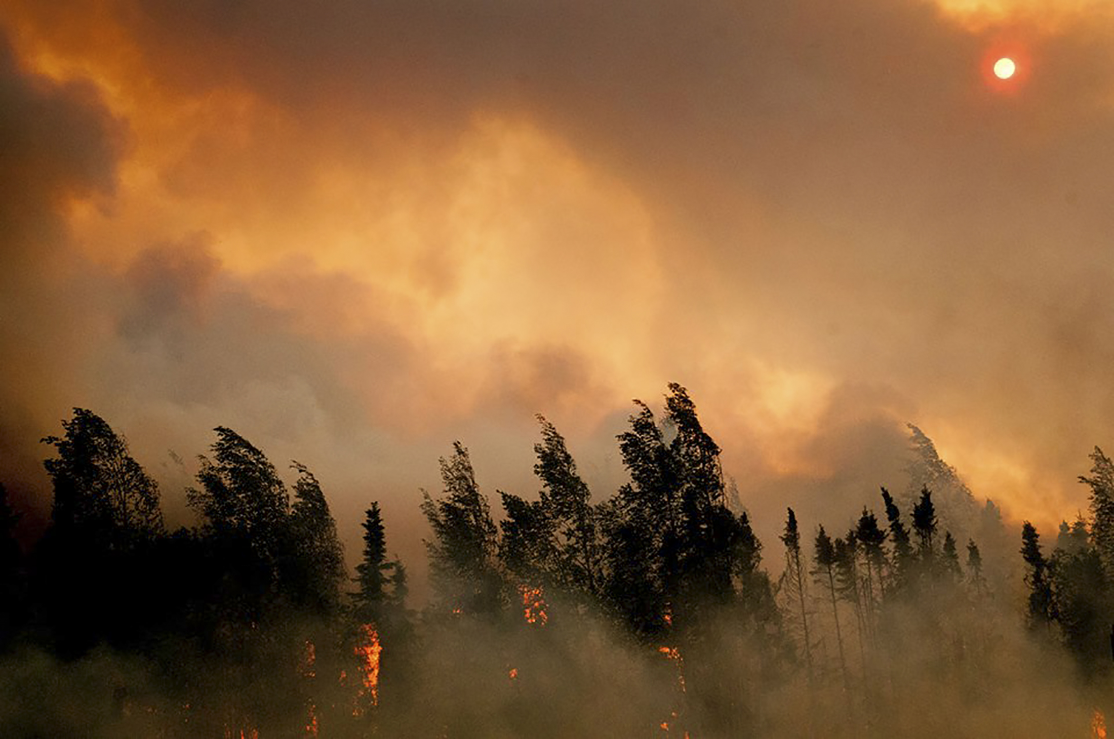
Years after fires in Alaska’s boreal forests, the soils beneath showed dramatic warmth and carbon loss
The fires had completely burned away the layer of moss that usually insulates underlying soil and permafrost.
Two years after severe wildfires burned through the boreal forest of interior Alaska, the ground held heat but had lost two-thirds of its carbon, a recent study reports.
The dramatic effects of the 2015 fires, discovered in soils down to 30 centimeters below the surface, were documented by NASA scientist Christopher Potter and detailed in a study published online in the journal Carbon Balance and Management.
Soil measurements taken at burned and unburned spots found that temperatures below the blackened surface were 8 to 10 degrees Celsius warmer than soils elsewhere. Soils in burned areas held 65 percent less carbon than those in nearby unburned areas, and 58 percent less nitrogen, according to the measurements.
In burned areas, the fires completely removed the moss layer that usually serves to insulate soils from surface heat and keep permafrost frozen, Potter said.
What he saw when he went to the areas in the summer of 2017 were blackened surfaces and, below those, thawed and muddy soil, he said.
“It was just like charcoal on the top,” Potter said. “Once you got below that, it was just a mucky mess.”
Potter took measurements in the summer of 2017 in burned and unburned areas west of Fairbanks along the Yukon and Kuskokwim Rivers. The Yukon-Kuskokwim region heavily burned in 2015, a near-record wildfire year in Alaska. Most of the largest Alaska wildfires that year burned in interior Alaska between latitudes 64.5 and 66 degrees North, near the Arctic Circle, Potter’s study notes.
Potter is one of the scientists working in NASA’s Arctic-Boreal Vulnerability Experiment, known as ABoVE. The project comprises several field studies in Alaska and western Canada to link on-the-ground observations and measurements with the information that NASA is gathering by aircraft and satellite.
His study of wildfire effects in interior Alaska is one of the first, or perhaps the first, to document conditions well below the surface after severe wildfire in the interior Alaska boreal forest.
Past studies, including some by David McGuire of the University of Alaska Fairbanks, have examined Alaska wildfire patterns and the impacts to permafrost and implications for carbon loss. Several other scientists in Alaska have made projections about wildfire-induced carbon release from permafrost; one 2016 study suggested that wildfire-related carbon releases from permafrost regions will quadruple by the end of the century.
Potter said the below-ground measurements helped to validate some of the earlier projections made through modeling.
More soil warming and carbon and nitrogen loss can be expected in the future, he said. Wildfire frequency and severity, though it can fluctuate widely year-to-year, is increasing in Alaska, he noted. Severe fires that burn vegetation below the soil’s surface wind up removing the protective insulation that kept permafrost frozen, and the succeeding plants do not serve the same function, he said.
“When they burn the moss, shrubs usually come back, not moss,” he said.
Yereth Rosen is a 2018 Alicia Patterson Foundation fellow.