The first-ever rainfall was just recorded at the summit of the Greenland Ice Sheet
The 10,000-foot apex of the ice sheet usually sees precipitation as snow, even in summer.
For the first time on record, rain fell at the highest point of Greenland’s ice sheet, the National Snow and Ice Data Center reported.
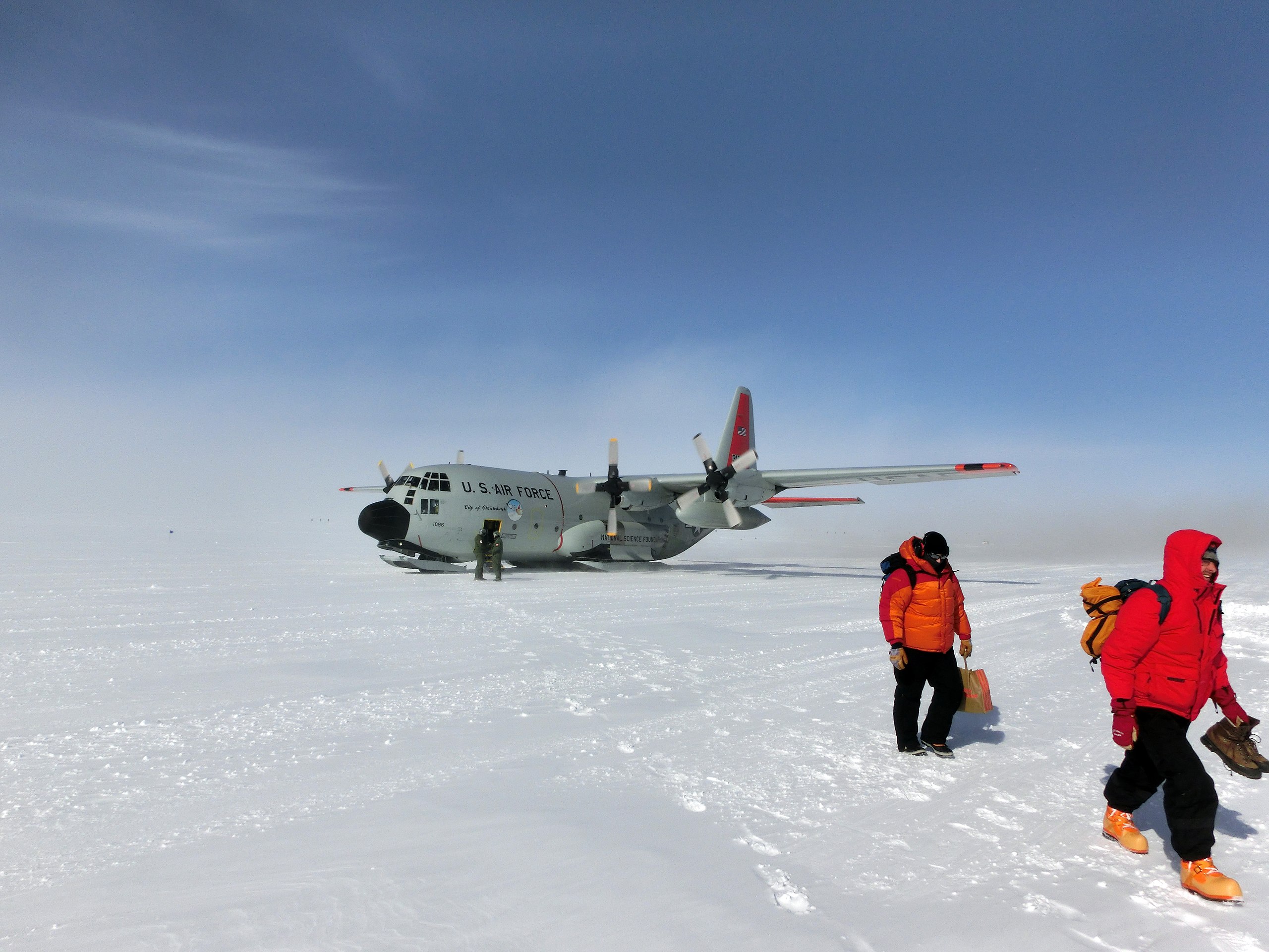
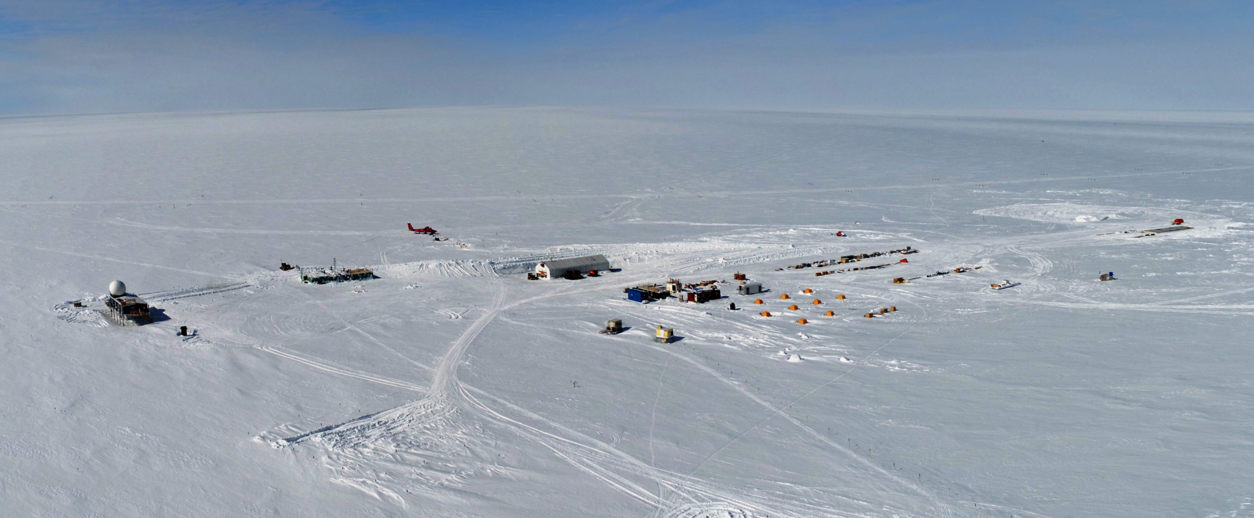
The first documented rain at Greenland’s highest elevation occurred on Aug. 14 and was recorded at the National Science Foundation’s Summit Station, located 10,551 feet (3,216 meters) above sea level.
The rainfall was the product of an unusual atmospheric pattern — but also a sign of the warming times, said NSIDC Director Mark Serreze.
“This is pretty darned unusual to see something like that. Now, are we going to see more events like this as we move into the future? Quite likely,” he said.
The rain came amid above-freezing temperatures at Greenland’s highest elevation, conditions created by low pressure on one side of Greenland and high pressure on the other side, Serreze said. “That gave kind of an egg-beater effect which pumped all this warm air from the south up toward Greenland,” he said.
It was the third time in less than a decade that the temperature rose above freezing at Greenland’s highest point — and the latest time of the year such warmth has been recorded there there, the NSIDC said. The air temperature was above freezing for about nine hours, producing a late-season spike in surface melt.
Any repeat occurrence of rainfall at the top of the Greenland ice sheet would require a similarly unusual weather pattern, Serreze said. “But of course the climate it warming,” he said. “So when you get one of these unusual patterns, it tends to be warmer than it was 30 years ago.”
[Greenland experienced ‘massive’ ice melt event, scientists say]
Overall melt in 2021 has been far outpacing the 1981-2010 median, with melt starting earlier in the year and big melt events occurring relatively late into the season, according to the NSIDC.
There are other ominous signs about the Greenland Ice Sheet
One warning came in the Intergovernmental Panel on Climate Change report issued earlier this month. Greenland’s contribution to global sea-level rise is likely to be larger than previously estimated, the IPCC report said.
The study on which that conclusion was based, published in the journal Geophysical Research Letters, increases Greenland’s estimated impact to sea-level rise by a factor of 1.5.
While Greenland’s ice sheet will be losing mass to melt through the end of the century, warming air conditions in the southern polar region are expected to increase snowfall over Antarctica, offsetting melt on that continent, the study found.
Greenland’s melt is also hastened by darkened conditions, scientists have found.
Lack of fresh snow over parts of the Greenland Ice Sheet has resulted in a darkening of the surface and diminishment of power to reflect the sun’s heat, a Dartmouth-led study found.
That study, published in May in the journal Geophysical Research Letters, found that increasingly frequent high-pressure atmospheric systems are pushing snowstorms away from central Greenland, reducing the amount of fine-grained fresh snowflakes. The older, coarser snow that is dominating the surface has lower albedo, the study found. The darkening of the snow causes more solar heat to be retained and thus speeds melt.
Arctic sea ice is also showing signs of climate stress.
Although the quantity of ice as measured by extent is higher than in several past years, the ice quality is in worse shape.
The amount of multiyear ice hit a record low in early August, according to NSIDC information, dropping to 1.6 million square kilometers (618,00 million square miles), about a third of what it used to be at the same time of year in the late 1980s.
[Record-breaking winter winds have blown old Arctic sea ice into the melt zone]
A lot of the current loss of old ice traces back to last winter when a “big tongue of old ice” moved into the Beaufort Sea, Serreze said. “The question was, ‘Will it survive there?’ And it did not,” he said.
That transport of very old ice into the Beaufort was the byproduct of a strengthened and broadened Beaufort Sea gyre that flushed first-year ice out and pulled old ice in, scientists found. The result gave the Beaufort Sea its largest fraction of end-of-winter multiyear ice — 23.5 percent — since such records began in 1984, according to a study published earlier this month and co-authored by Serreze.
The long-term pattern shows that the amount of old ice plunged after 2007, which was at the time a record-low year for ice extent, and has trended downward since, though with a lot of year-to-year variation, according to the NSIDC.