How ocean currents can make the Arctic a model for reducing shipping emissions
A real-time monitoring system in the region could help shippers use currents to sail more efficiently.
During the American War of Independence, the revolutionaries’ French allies were able to reach the new world faster than their British counterparts. This was due to a piece of very special intelligence provided by American revolutionary leader Benjamin Franklin: The first known map of the Gulf Stream current. French ships were able to ride this current, speeding up their journey across the Atlantic and helping steer the course of the war.
Since that time, our scientific understanding of oceanography has exponentially increased. However, with the invention of machine powered engines, the currents are no longer important to the shipping industry in quite the same way.
This was a mistake.
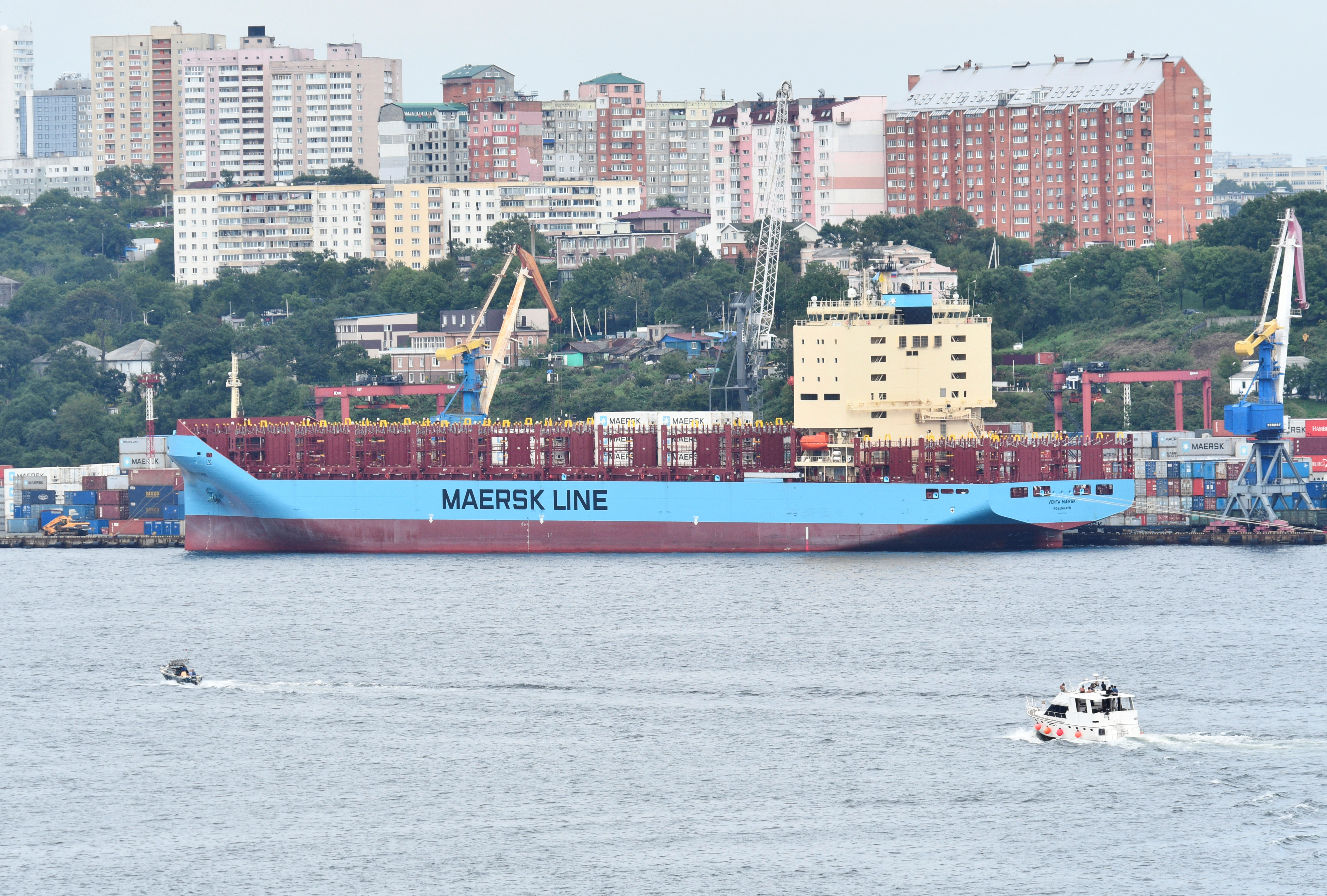
The shipping industry currently accounts for nearly 3 percent of global carbon emissions, an amount equal to the entire country of Germany. This industry was not included in the Paris Agreement and has yet to see serious progress in reducing greenhouse gas emissions.
However, scientists have estimated that by using ocean currents and winds, shippers might be able to dramatically increase the industry’s efficiency. Many studies have indicated that using current and wind-optimizing routes could reduce a ship’s travel time – meaning that ships would require much less fuel to reach their destination.
Doing this would reduce carbon emissions from the shipping industry. It would also help goods arrive more quickly and would decrease the overall cost of shipping.
Potential for real-time current optimization
Not only could we still be utilizing currents today, but we could actually be doing it better than at any other point in history. While many oceanic currents remain essentially the same year round, others change seasonally, or even weekly. For the first time in history, we have the technology to provide real-time information about these more dynamic currents.
Using machine learning, today’s computers would be able to accumulate real-time data from monitors in the Arctic and feed that information to ships moving through the area to help them optimize their routes using currents and winds.
The Arctic is an attractive place for shippers to use real time data about natural conditions. Shipping in the Arctic is increasing rapidly and routes through the area are still being set. Furthermore, given the slow emergency response times in the region, using real-time optimization data can help ships travel more safely through the region.
However, before this real-time optimization can become a reality, we need to address another critical problem in the region: The monitoring problem.
The Monitoring Problem
If we want to be able to understand the rapidly changing Arctic Ocean, we are going to need much more ocean monitoring than currently exists. This monitoring might be done by smart-buoys, satellites, or even underwater drones. These monitoring stations will need to be able to withstand the extreme Arctic conditions and for these stations to provide real-time information they will need more satellite connections than the arctic can currently provide.
All of these factors add up to one certain thing about Arctic monitoring: it is going to take a lot of money. Currently, scientists are looking to the public sector (non-profits and Arctic governments) to raise this money.
But there might be another way.
Bringing it all Together
A nonprofit — coordinating with the International Maritime Organization, shippers and the international science community — could offer to provide Arctic shippers whatever optimization data is available from the existing, publically-funded monitoring stations. This nonprofit could then charge shippers a fee for the service. The proceeds would then be used to help fund the additional monitoring efforts that are required in the arctic.
As monitoring increases, the service will become more valuable and be able to raise more capital — again allowing monitoring to improve.
This solution provides value to every actor involved. The shipping industry will benefit from this partnership because they can save fuel on each trip, reducing operating costs. They will also be able to ship goods faster, making them more competitive.
Scientists will benefit from additional funding, allowing them to increase monitoring in the Arctic. Reducing the amount black carbon (fine particulate matter) and aerosol that is emitted into the Arctic will provide positive benefits for the local environment and indigenous communities living in the region. Finally, lower carbon emissions provide a benefit to all of us.
Now is the time to bring our shipping routes back up to ‘current’ technology.
Cayla Calderwood is a graduate student who participated in the Harvard Kennedy School’s Arctic Initiative in 2018.
 This piece is one of a series of op-eds written by students of the Arctic Innovators Course at the Harvard Kennedy School’s Arctic Initiative. You can read the full series on this site.
The views expressed here are the writer’s and are not necessarily endorsed by the Arctic Initiative or ArcticToday, which welcomes a broad range of viewpoints. To submit a piece for consideration, email commentary (at) arctictoday.com.