Already in overtime, NASA’s ice-monitoring mission is finally nearing its end
Originally a five-year mission, NASA’s Operation IceBridge has been helping scientists get a better understanding of polar ice since 2010.
When it began in 2010, NASA’s Operation IceBridge was meant as a stop-gap solution that would last for five years, spanning the unexpected loss of the ICESat Earth-observation satellite, in 2009, and the launch of its replacement, ICESat-2.
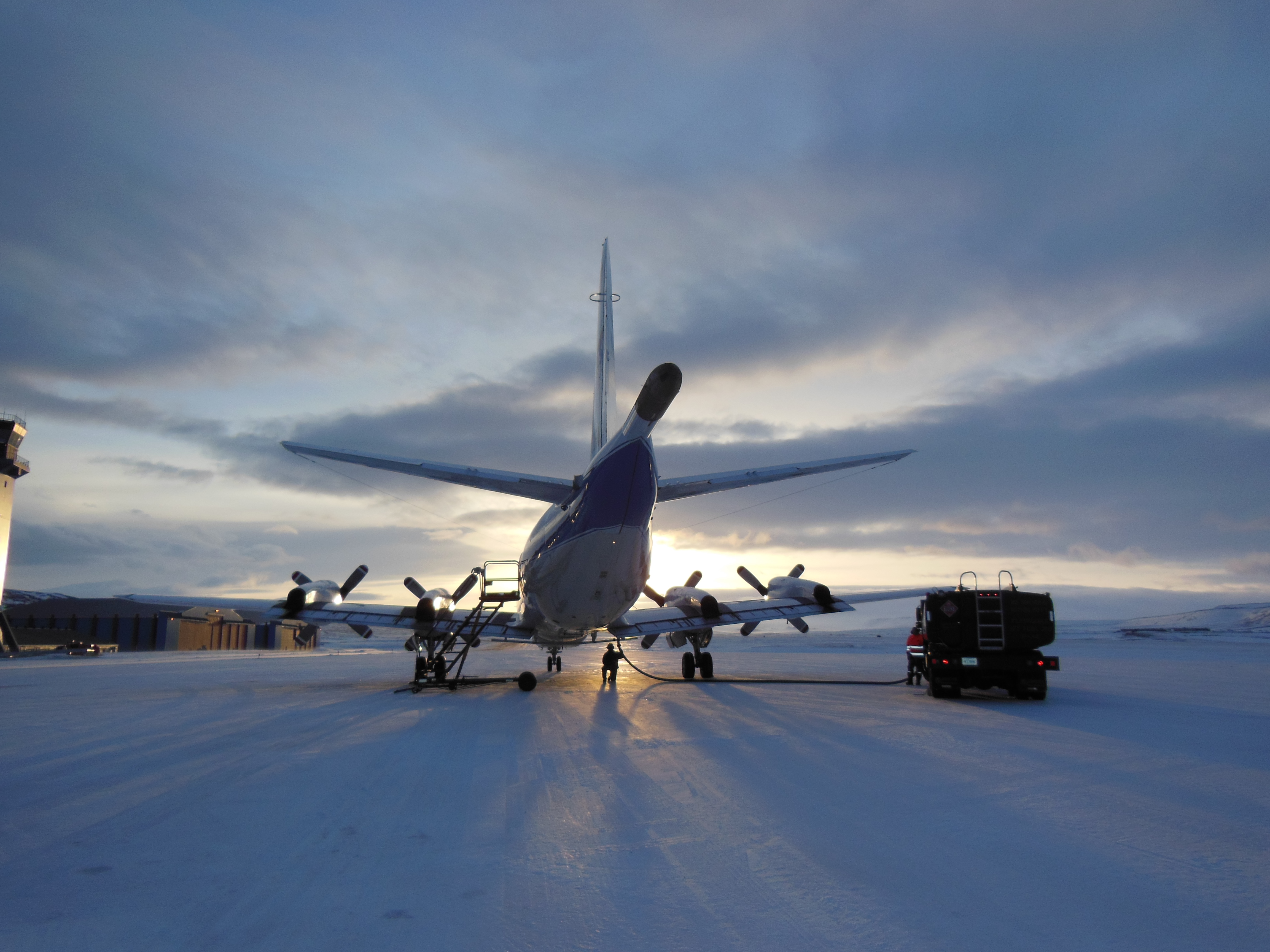
Operation IceBridge, which uses aircraft to monitor changes in Arctic and Antarctic ice, will enter its ninth year this year when it begins flying out of Thule Airbase in Greenland to collect information about land and sea ice.
This year’s five-week operation, running from March 20 to April 27, will see it fly dozens of times over Greenland, Canada and Alaska, covering much of the western Arctic in the process.
[NASA’s temporary ice-observation mission is going stronger than ever]
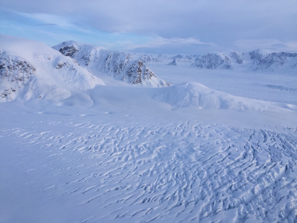
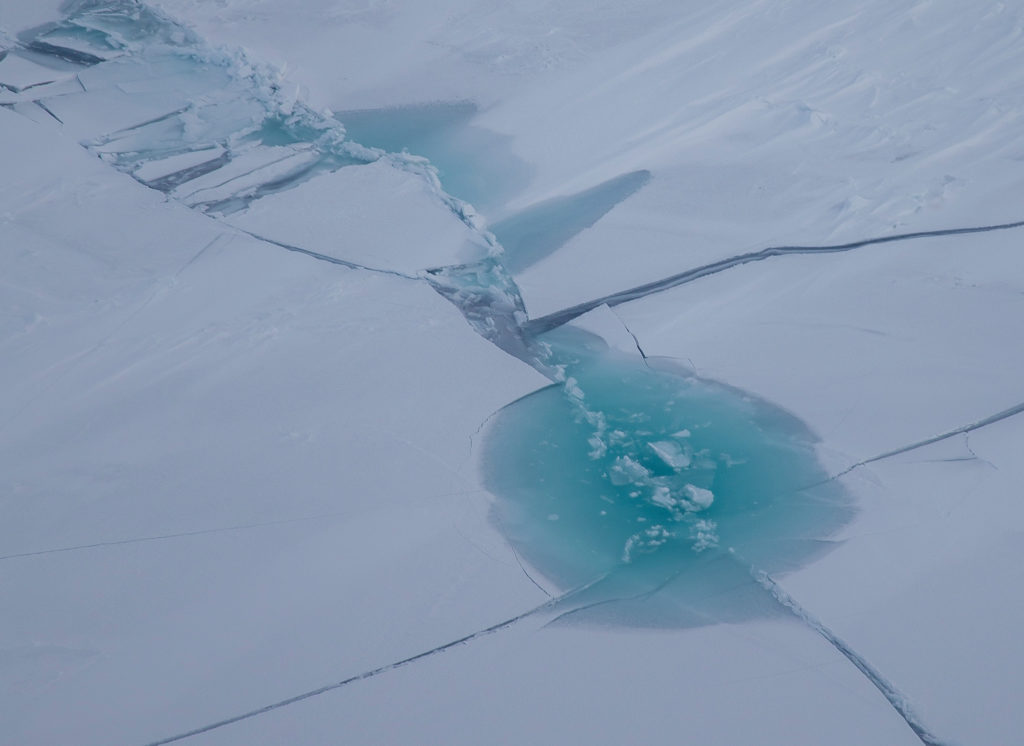
As with past years, Operation IceBridge will be concentrating on Greenland’s coastal and glacial ice, the glaciers of southeast Alaska and the ice caps of the Canadian Arctic, as well as sea-ice thickness. This information is used, in part, to predict how polar ice is reacting to a warming climate, and what that means for things like sea-level rise.


Operation IceBridge’s reason for being is, as its name indicates, to close the gap that emerged with the loss of ICESat. Getting a new satellite in orbit, now planned for September, means NASA will again have full-time, year-round coverage of a much larger area than an airplane can provide.
Using a satellite has some drawbacks, though. ICESat-2, for example, can only fly in a fixed path, and it carries just one instrument, the Advanced Topographic Laser Altimeter System (ATLAS), a space-based LIDAR, a sort of radar that uses lasers.
The P3 Orion airplane Operation IceBridge currently uses, on the other hand, is packed with what NASA describes as “the most sophisticated suite of innovative science instruments ever assembled,” some of which only work at the altitudes at which airplanes fly.
[NASA’s newest polar-orbiting satellite promises a wealth of better Arctic information]
NASA’s description is not all hyperbole. IceBridge sensors have revealed, for example, new information about Greenland’s bedrock formations and given a better understanding of snow cover in the Arctic.
This is possible because, unlike ICESat-2, which uses its lasers to make precise elevation measurements of the extent and thickness of ice cover, Operation IceBridge can use its instruments peer not just at the ice, but also under it.
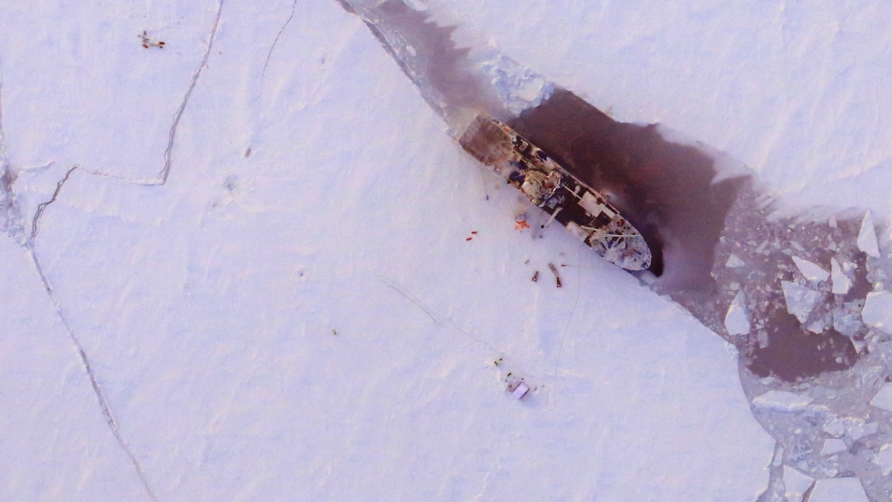
And because flight paths can be tailored to the mission, Operation IceBridge scientists can fly over areas of particular interest, or link up with other scientific missions, as in 2015, when it overflew the R/V Lance, a Norwegian research vessel intentionally set adrift in the ice of the Arctic winter.
Nathan Kurtz, who has been a project scientist with Operation IceBridge since 2010, explains that its extended mission and ability to do things that a satellite cannot means it has functioned as more than just a stop-gap measure. The extra information it has collected, he says, has helped scientists better understand how the polar regions are connected with the global climate system.
“Visually things look similar to the way they did 10 years ago, but IceBridge’s sensors make it possible to see more of what’s going on beneath the surface,” he says.
[Danish military’s first satellite will keep eye on ships in Arctic]
Even though ICESat-2 is scheduled for launch in September, not even this will spell the end of Operation IceBridge right away; it is funded until 2020, meaning that it will have least one, perhaps two, more seasons in the Arctic, according to Kurtz.
The overlap, he says, is necessary to make sure that, once ICESat-2 is aloft, it is operating properly and returning the same readings as Operation IceBridge.
For that reason, the Operation IceBridge will spend the coming two seasons, first in the Arctic, and then in the Antarctic later this year, during the antipodean spring, making sure its readings of the areas seeing the highest rates of change are as accurate as possible.
When finally launched, ICESat-2 is expected to remain in service for five years. A stop-gap before the next Operation IceBridge?