NASA’s newest polar-orbiting satellite promises a wealth of better Arctic information
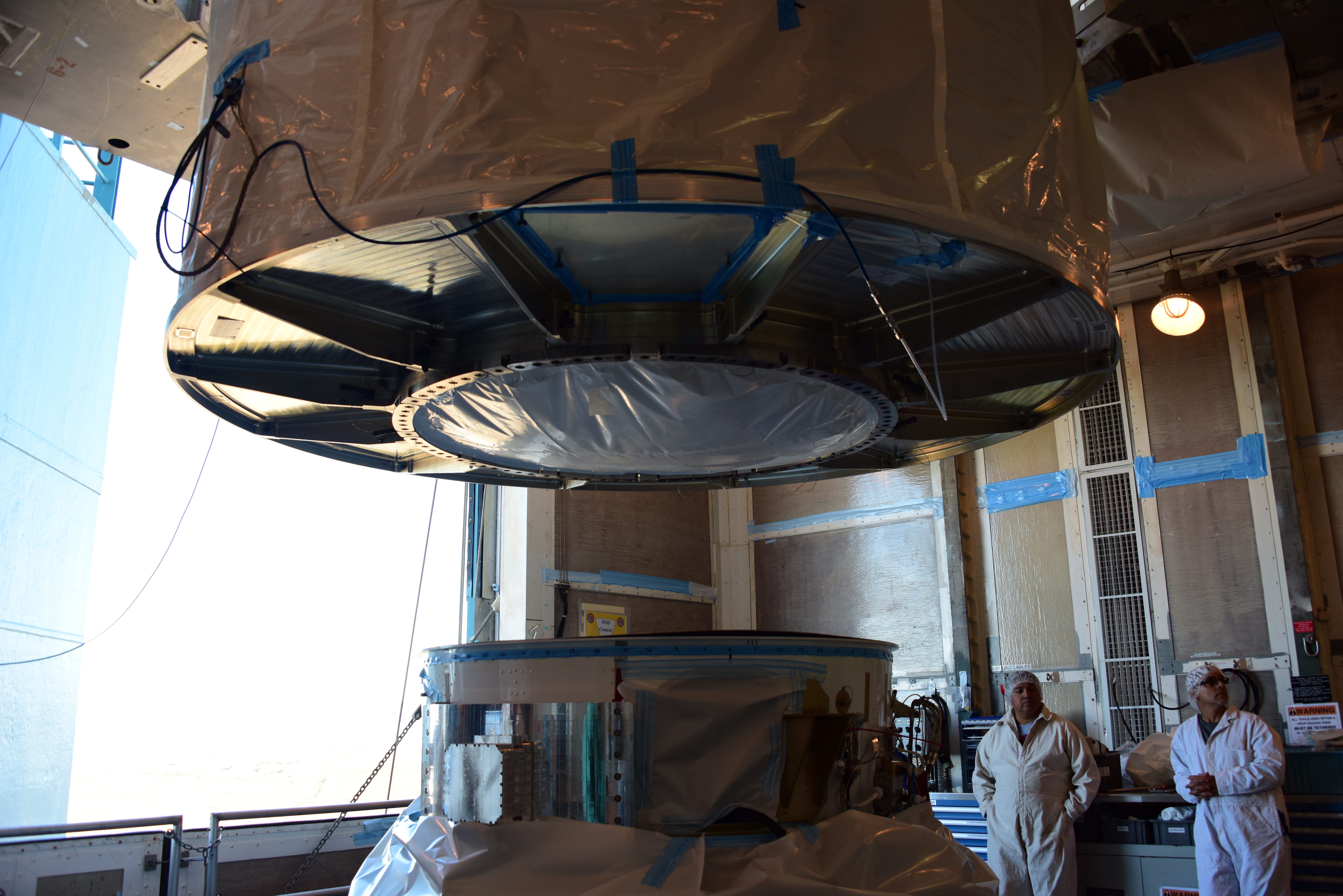
Shortly after midnight on Nov. 14, NASA expects to launch an ultra-advanced polar-orbiting satellite into space, the first of four that promise to send to Earth much better information about weather, sea ice, wildfires and other natural forces of significance to the Arctic and the people who live and work there.
The Joint Polar Satellite System, or JPSS, is a project of the National Oceanic and Atmospheric Administration, which oversees the National Weather Service. The JPSS is intended to vastly improve NOAA’s weather data worldwide, and there are special benefits to Alaska.
Polar-orbiting satellites, which travel pole-to-pole to record data around the spinning Earth, will provide much better information about Alaska than do than stationary satellite now sending data to Earth, said Nate Eckstein, science infusion and technology transfer meteorologist for the National Weather Service in Alaska. Those stationary satellites are not positioned to get much information north of the Alaska Range — and especially not from areas north of the Brooks Range, Eckstein said in a NOAA-hosted teleconference on Tuesday.
The JPSS satellites have something called a “day-night band,” which provides imagery even in nighttime darkness, Eckstein said. That is “really amazing technology” that will provide important information like location of cloud cover in tight mountain passes that would pose hazards to aviators, he said.
The imagery promises to be of high quality and to cover vast stretches of territory, JPSS program scientist Mitchell Goldberg said in a teleconference.
The JPSS technology will collect data to closely track sea ice in places like the Bering Sea, where there is heavy shipping traffic; volcanic ash emissions, which can pose aviation hazards; and even small wildfires and their smoke plumes, Eckstein said. The technology also has the capability to distinguish between white clouds and white snow.
“With JPSS, we can combine multiple channels of imagery together to differential clouds and snow really easily,” he said in the teleconference.
The JPSS program has been a big commitment for NOAA. Planning, design and preparation took more than a decade, as is typical with orbiting satellites that must operate perfectly for at least seven years without repairs, JPSS program scientist Mitch Goldberg said in the news conference.
The first satellite alone costs about $1.6 billion, Goldberg said. That is a worthwhile investment for considering the valuable information that will be produced and the durability of the device, Goldberg said. Information will do much to make multi-day weather forecasts more precise, will help keep people safe from natural disasters and will protect economic activities, so the “return on investment is huge for the American taxpayer,” he said.
NOAA is already getting a preview of such information with an earlier satellite, Suomi, that was sent into orbit in 2011. The Suomi satellite has been operating as something of a test for the JPSS program, Goldberg said. But it has already provided valuable data for the National Weather Service, he said. Suomi produced precise identification of the storm system in Tropical Storm Ramon, which gathered in waters off the Mexican coast, for example.