Trump’s reversal on Alaska ocean mapping will help the Arctic
The move has potential benefits that go well beyond any short-term economic opportunities.
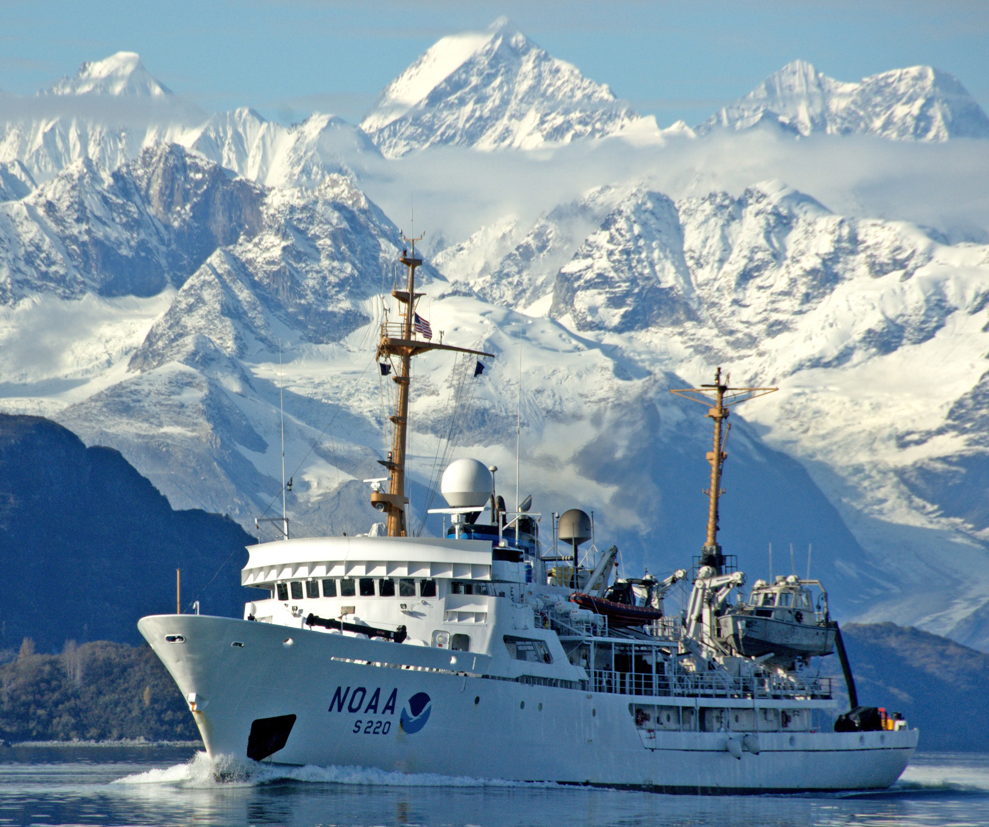
An international effort to create a definitive map of the ocean floor by 2030 will get a boost from the Trump administration’s plan to accelerate ocean mapping off the coast of Alaska.
“Completed mapping is especially lacking for Alaska and for the Alaskan Arctic, which lack the comprehensive shoreline and nearshore maps available for much of the rest of the nation,” President Donald Trump said in a Nov. 19 statement.
[A new Trump directive calls for more Arctic Ocean mapping to spur resource development]
Only a small percentage of the Arctic and subarctic waters off the Alaska coast have been charted to modern standards. Maps that haven’t been updated in a century or more are not uncommon.
When ice blocked most ocean travel in the Arctic for most of the year, the lack of information didn’t seem worrisome. But as the ice recedes and travel increases, the danger has become clear across the region.
Trump and the Alaska congressional delegation have focused largely on the commercial value of enhanced mapping of the ocean floor in the Arctic, but a research project such as this one is essential for a host of reasons.
The Trump declaration, though it does not come with money for implementation, does point to a reversal of the position he took earlier in his presidency when he sought to reduce funding for mapping.
At the very least, this will make it easier for the Alaska congressional delegation to get $32 million in the federal budget to learn more about the ocean floor. And Trump’s move is a solid start toward creating a reasonable timeline for finishing a project that would have taken decades to complete without more support.
It’s true that commercial exploitation of resources would be enhanced with more information, but there are long-term benefits that have little to do with immediate profit and loss.
The oceans are still an unexplored region in many ways and the longer that this remains the case, the greater risks are to the planet. This is true worldwide, but especially in the Arctic.
Better mapping is necessary to understand all aspects of the ocean environment, such as the water circulation, animal habitat, the food chain, sediment movements, wave action, tsunami risks and climate change.
A greater U.S. commitment to ocean charting fits into the vision of the Nippon Foundation, which is promoting a goal of mapping all of the world’s oceans in great detail by 2030. A map accessible to everyone would benefit all those who use the oceans.
“Seabed 2030” is a collaborative project with an international organization called the General Bathymetric Chart of the Oceans, which provides worldwide data on the underwater world.
“In the short time that it has been operational, Seabed 2030 has already seen a doubling of the bathymetric data available to produce the definitive map of the world’s oceans — an increase equivalent in size to the landmass of the entire African continent,” the organization says.
For this venture, information about mapping the North Pacific and Arctic Ocean regions is being coordinated through a joint effort of Stockholm University and the University of New Hampshire.
The goal is to coordinate efforts of many organizations and use the same techniques for data collection to put all the pieces together.
The pledge by Trump to accelerate U.S. involvement is a welcome move that may well unite industry, academic institutions and other nations in the pursuit of a vital international effort.
Dermot Cole can be reached at [email protected].