For scientists, effects of snow falling on ice are an Arctic mystery
Whether snow harms or hurts sea-ice formation appears to be determined in large part on when and where it falls.
Snow plays a fickle role in the formation of sea ice, sometimes hindering it, sometimes helping the process along. Recent research seems to indicate that as temperatures rise and sea ice generally thins, a phenomenon known as snow-ice will occur more often, though scientists are at odds about what effect it will have on sea ice.
The opposing effects snow can have on ice are due, in part, to the fact that it insulates underlying ice from the air above. When snow falls in the spring, for example, it can slow the loss of sea ice due to rising temperatures. In addition, snow’s reflective properties deflect some of the sun’s energy, further slowing ice loss.
But, in the autumn, the insulation snow provides can prevent ice from growing by forming a barrier between it from the rapidly cooling air.
Snow, though, can also contribute to sea-ice growth in another way. If there is enough of it, its weight can push the underlying sea ice below the waterline. The seawater that then mixes with the snow freezes, adding to the overall amount of ice.
[Wildfires can cause glaciers to melt from over a thousand miles away, scientists find]
While this phenomenon is typical in the Antarctic, in the Arctic, where sea ice tends to be thicker, it has been rare. But as sea ice in the Arctic becomes thinner, snow-ice has been observed more frequently, and several studies have sought to identify precisely what effect this will have.
A lack of information makes it difficult to come up with a clear picture, just as varying snowfall patterns in the region preclude any sort of general outlook, but one of the areas that is receiving most attention is the Atlantic sector of the Arctic. There, heavy snowfall during autumn and winter is common, at the same time as its ice cover is decreasing rapidly.
This timing could prove decisive, since it is during this period that sea ice is thinnest, and, thus, when it would take less accumulated snow to either force the ice below it underwater entirely or to cause it to crack. In either event, the result would be a flood of seawater between the layer of ice and snow, leading to the formation of snow-ice.
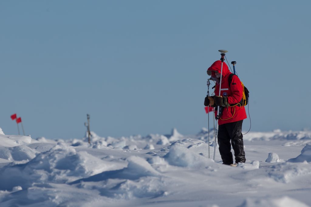
Much of what is known about the formation and the effects of snow-ice in the Arctic comes from the N-ICE2015 campaign, conducted in early 2015 by Norsk Polarinstitutt, based in Tromsø, Norway.
[Study shows longer, more frequent warm weather events in Arctic]
The scientists taking part observed more snow than would be expected in the Atlantic Arctic region, based on climate records. They also recorded significant amounts of snow-ice in second-year ice, but less of it in first-year ice.
When it came to the second-year ice, the effects of the increased snow may have been something of a push: Though it appeared that it did indeed contribute to increasing ice thickness above the waterline by leading to the formation of snow-ice, it also appeared to have prevented ice from growing from below, due to its insulating properties.
For first-year ice, more snow early in the ice-growth season seemed to have a detrimental effect, hindering growth.
So far, scientists have not recorded any information that could indicate how snow accumulation is affecting sea ice in the central part of the Arctic Ocean.
One reason for studying the interaction of snow and ice is that it will help give a better idea of the dynamics of seasonal ice growth and contraction, and how that is changing as the climate warms.
But learning more about snow patterns and the development of snow-ice is also expected to help improve the accuracy of satellite observations of sea ice. This is because satellite measurements are made based on the height of sea ice over the waterline and cannot easily differentiate between snow and ice.
Having a better sense of snow is not going to bring the ice back, but it may help scientists get a better idea of how much time it has left.