Scientists are close to losing a critical tool for sea ice research
The longest record of sea ice extent might be interrupted due to a lack of funding from the U.S. Congress.
Sea ice is vital to the Arctic, influencing climate patterns, human and animal interactions, and ecological processes. And it’s no secret that the ice is in retreat. On March 17, this year, it topped out at 5.59 million square miles, just shy of 2017’s record low maximum extent of 5.57 million square miles.
Scientists have been able to document this grim shift thanks to satellite records. And critical among these measurement are those from the Defense Meteorological Satellite Program, which has produced continuous records of the sea ice extent up North since 1979.
But although these records have provided scientists with important information at a time when the Arctic is seeing critical warming, the DMSP satellite record is in danger of going dark.
And while there may be temporary or even long-term fixes to try to fill some of the gap, the loss of these records would blind researchers studying the drastically changing sea ice coverage in the Arctic — at a time when this research is needed the most.
“We can see how the ice is changing,” said Sinead Farrell, associate research scientist at the University of Maryland and a member of NASA’s ICESat-2 science team, which measures the thickness of sea ice. “No matter what month we look at, the extent is in decline over 40 years.”
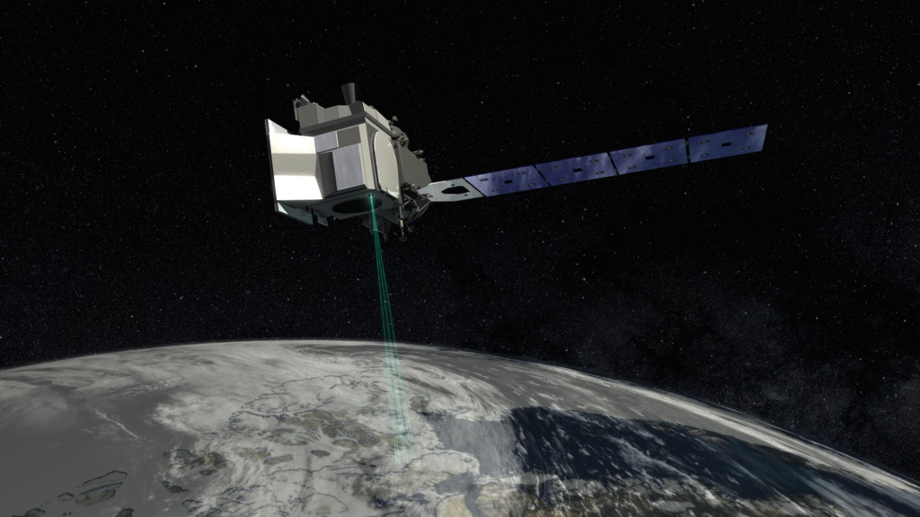
Beyond showing how the cover of ice has changed over the years, scientists can use measurements from both ICESat-2 — which will launch a new satellite in September — and DMSP satellite records to determine the volume of sea ice in the Arctic.
“That’s the only way that you can [calculate volume], is combine the measurements together. And that’s really the prize in measurements,” said Farrell.
Sea ice reflects much of the sunlight filtering into the polar regions, keeping temperatures cool; in its absence, the sunlight is absorbed by dark ocean waters, making temperatures rise further. Higher temperatures melt sea ice, causing a vicious cycle of melt, absorption and warmth. Sea ice also acts as a cap over warmer ocean waters to keep the Arctic air temperatures cold. Without that ice, some of this heat would escape, influencing weather patterns around the world.
In fact, the very nature of the Arctic ocean may change due to a lack of sea ice: In a recent study, scientists project that parts of the Barents Sea may be dramatically altered in the next few decades, transitioning from cold, fresh water to warmer, saltier Atlantic sea.
Sea ice is also vital for animals and native populations in the region. Wildlife ranging from phytoplankton to polar bears rely on sea ice for the nutrients, protective cover and hunting platforms it provides. Indigenous people rely on sea ice to form bridges and passageways for hunting and transportation.
The only way to provide daily coverage of this vital sea ice extent is with microwave radiometer satellites, according to Walt Meier, senior research scientist with the National Snow and Ice Data Center.
The bulk of this record has been provided by a string of DMSP F-series microwave radiometer satellites (F-13 through F-20), which were all constructed starting in the mid-1980s. Each satellite is meant to last three to five years — once one F-series satellite showed signs of wear, another would be launched, ensuring there were no gaps in the record.
Currently, there are three F-series satellites operating: F-16, F-17 and F-18. But, all three of these have their own issues. F-17 began to glitch in 2016, while F-16 and F-18 have degraded capabilities, though, according to Meier, they are still working fine for sea ice.
F-19, the most recent in the series, was launched in 2014, only to blink out two years later due to a power failure.
Now, F-18 is the youngest of the three still in operation. But this satellite was launched in 2009, and although Meier says that the sensors could potentially function for well over a decade, the clock is ticking to launch another satellite measuring sea ice extent to ensure there is some overlap before F-18 goes caput.
“It’s important to calibrate the new sensor data with the old sensor data and this is done by comparing the data when both old and new are flying (ideally for a full year to capture the full sea ice seasonal variation),” Meier wrote in an email. “If the older sensors die before new ones are launched, then we can’t do that calibration.”
Among all this drama, there was solution sitting quietly in the wings: the fully-functional F-20, the last of the F-series satellites. But, after the F-series’ storage costs attracted the ire of some Republicans in Congress, the hope of launching this satellite in 2018 was cut down. Congress stripped DMSP of funding in the 2016 fiscal omnibus spending bill and passed on providing funds to launch F-20. Starting in 2016, F-20 was slowly disassembled, piece by piece.
Although there is a contract to construct a new Weather System Follow-on satellites, the first isn’t slated to launch until around 2024. That would require the already-malfunctioning F-series satellites to continue operating well past their expiration dates.
“The only instruments that can provide the daily coverage is the passive microwave sensors, such as those on the DMSP F-series,” Meier wrote. And while he focuses on sea ice in his research, Meier said that passive microwave sensors provide other useful climate records like snow cover, precipitation and soil moisture.
“So it would be a loss, not just for the sea ice community, but for the global climate community,” said Meier.
Now, scientists are looking at alternative technology that might help fill in the record in the case of an F-series terminus. One option is Synthetic Aperture Radar, which uses imaging radar to monitor sea ice. While the record isn’t as complete as that from the DMSP satellites, SAR can obtain images of the ice even in cloudy conditions or at night.
Canada’s Radarsat-2 has been providing these types of images since 2007, and a new trio of satellites are scheduled to launch in November as part of the Radarsat Constellation Mission. The European Space Agency also has satellites carrying SAR as part of its Sentinel series, and is looking to launch more in the future.
But while SAR will be helpful to scientists tracking sea ice extent, Meier said it won’t be as consistent as the passive microwave sensors. It’s also a different system than the DMSP F-series, meaning they might not provide quite the same measurements.
“They aren’t really apples and apples, they are more like apples and oranges,” said Farrell. “We have to compare how much ice they are seeing — that’s normal, it doesn’t mean that one measurement is wrong, but they might be different.”
There also might be future passive microwave missions from Japan and Europe’s space agencies, but Farrell warns that data from other country’s satellites are at risk of being held on an embargo.
“We don’t really want to be reliant on observations from another agency and how quickly they will be released,” said Farrell.
For now, scientists are focused on the record — both recent and new — as they look towards the future.
“We can think of it as a history of what happened to the ice, and that’s all we can do. No one can predict the future, but we can look at the past and what happened,” said Farrell.