Scientists are trying to better understand Greenland's melting ice — and what it will mean for global sea level rise.
By ReutersSeptember 21, 2018
2857
An iceberg floats in a fjord near the town of Tasiilaq, Greenland, June 18, 2018. REUTERS/Lucas Jackson
Pilot in Command Tom Parent inspects the exterior of a NASA Gulfstream III during a pre-flight inspection of the aircraft before a flight to support the Oceans Melting Greenland (OMG) research mission at Keflavik International Airport, Iceland, March 13, 2018. REUTERS/Lucas Jackson
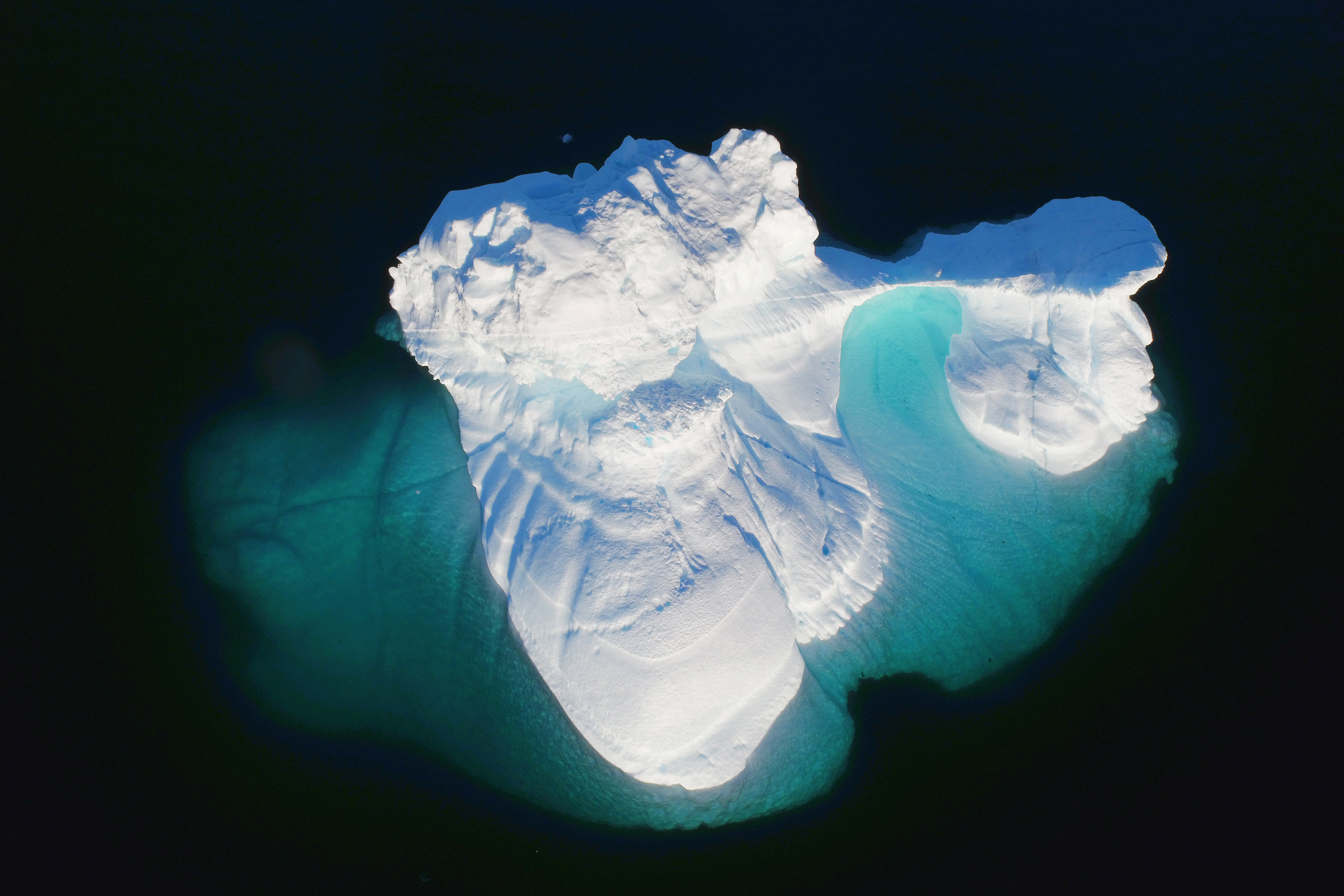
A glacial terminus is seen out the window of a NASA Gulfstream III flight to support the Oceans Melting Greenland (OMG) research mission above the east coast of Greenland, March 12, 2018. REUTERS/Lucas Jackson
Seal hunter Henrik Josvasson jumps back onto his boat after searching for puffin eggs near the town of Tasiilaq, Greenland, June 16, 2018. REUTERS/Lucas Jackson
A man walks along the road in the evening sunshine through the town of Tasiilaq, Greenland, June 17, 2018. REUTERS/Lucas Jackson
Radar Engineer, David Austerberry, monitors data collection inside of a NASA Gulfstream III, while measuring loss of the country’s ice sheet as part of the Oceans Melting Greenland (OMG) research mission, above Greenland, March 13, 2018. REUTERS/Lucas Jackson
A small skiff motors past an iceberg in the open ocean near Tasiilaq, Greenland, June 24, 2018. REUTERS/Lucas Jackson
An iceberg floats in a fjord near Tasiilaq, Greenland, June 16, 2018. REUTERS/Lucas Jackson
Chunks of ice float inside of meltwater pools on top of the Helheim glacier near Tasiilaq, Greenland, June 19, 2018. (Lucas Jackson / Reuters)
Safety officer Brian Rougeux (R) speaks with oceanographer David Holland at the research camp above the Helheim glacier near Tasiilaq, Greenland, June 22, 2018. REUTERS/Lucas Jackson
Safety officer Brian Rougeux works to assemble a radar dome while working at the research camp above the Helheim glacier near Tasiilaq, Greenland, June 20, 2018. REUTERS/Lucas Jackson
Oceanographer David Holland inspects a newly built radar dome at the research camp above the Helheim glacier near Tasiilaq, Greenland, June 22, 2018. REUTERS/Lucas Jackson
A ringed seal with data collection equipment attached to its back surfaces above the water in Ilulissat fjord in southwestern Greenland. (Aqqalu Rosing-Asvid / Greenland Institute of Natural Resources / Handout via Reuters)
NASA scientists are mapping the loss of ice in Greenland, part of a cutting-edge effort to understand how warming oceans melt ice sheets — a key factor in improving uncertain forecasts for sea-level rise.
At Arctic Today, we strive every day to bring you reliable information on one of the world’s most
dynamic and rapidly changing regions. Independent journalism ensures that stories about Far North
communities, businesses, and governments are told without fear or favor. Your support helps us continue
our important mission. Become a supporter today and join us in getting the word out on this vital
region. Together, we can ensure that the Arctic story is told accurately and responsibly. Arctic Today
is a U.S. non-profit organization. Donate to support Arctic
Today here.
This website uses cookies to improve your experience. We'll assume you're ok with this, but you can opt-out if you wish. Cookie settingsACCEPT
Privacy & Cookies Policy
Privacy Overview
This website uses cookies to improve your experience while you navigate through the website. Out of these cookies, the cookies that are categorized as necessary are stored on your browser as they are essential for the working of basic functionalities of the website. We also use third-party cookies that help us analyze and understand how you use this website. These cookies will be stored in your browser only with your consent. You also have the option to opt-out of these cookies. But opting out of some of these cookies may have an effect on your browsing experience.