Outdated navigational charts are an Arctic maritime disaster in the making
ANALYSIS: Uncharted — or poorly charted — Arctic waters mean a major accident is inevitable.
On a July evening three years ago, the 380-foot Finnish icebreaker Fennica headed out from Dutch Harbor shortly before 11 p.m., bound for the Chukchi Sea.
Four minutes later, traveling at about 4 mph, the ship’s master and pilot felt a slight movement and heard a bang, believing it was the sound of the anchor being secured — it had been lowered slightly earlier that evening to allow another ship to transfer supplies for the Arctic voyage.
Over the next couple of hours, the chief mate noticed that water was rising in the No. 4 ballast tank at 1,000 to 2,000 gallons per hour. While the Fennica ballast pumps could handle a much larger quantity than that, the master decided the problem needed attention and returned to Dutch Harbor, where divers found a three-foot-by-one-inch gash in the hull.
[As ice recedes, the Arctic isn’t prepared for more shipping traffic]
Later, a survey vessel from the National Oceanic and Atmospheric Administration retraced the course of the Fennica and discovered an uncharted rock about 25 feet below where the icebreaker had been at the time of the big bang. The icebreaker draws 26.5 feet, making it 9 inches too deep to clear the obstacle.
The chart for Dutch Harbor, created in 1935, didn’t show that rock or several others, the Coast Guard reported.
The icebreaker crew was on the right route, according to the best information available.
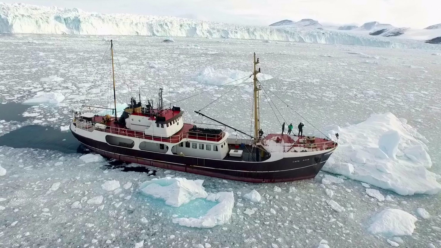
That incident proved the danger — even in areas with lots of traffic — of relying on outdated maps in waters off the coast of Alaska. Many areas have maps that are 150 years old.
With more freight traffic, cruise ships and other vessels now venturing into the Arctic as the ice recedes, what other uncharted dangers are lurking below?
No one knows, which is why this is a maritime disaster in the making.
[A cruise ship runs aground in Canada’s Arctic waters]
Completing new undersea charts of waters in the Arctic and nearby must be the top priority for NOAA, a consultant recently told an advisory group in Juneau.
“The substantial charting backlog in the Arctic is compounded by receding sea ice and the opening up of new areas for maritime activities,” Jay Sterne of Windward Strategies said in a presentation prepared for the NOAA Hydrographic Services Review panel. NOAA has started work on a multi-year project to update the charts for critical areas, but it is a massive undertaking.
Only 4.1 percent of the Arctic waters off Alaska’s coast are charted to modern standards, a danger that is exacerbated by the lack of infrastructure throughout the region.
In the past three years, about 1,500 square nautical miles have been surveyed, while there are about 200,000 nautical square miles off Alaska that are important for navigation.
The review panel, in its summary of the challenge, has called for a $30 million increase in federal spending to get caught up on the maps and for funds to replace the only two ships capable of conducting Arctic survey operations.
But NOAA has a 13-year backlog of areas along the entire U.S. coast in critical need of modern surveys, so it’s not just an Arctic issue.
While the Trump administration has proposed reducing the amount available for mapping work, key senators have objected and added more funds while complaining about the glacial speed of progress in the Arctic.
The experts recognize the need to get better information and that there is no time to lose in this quest.
Columnist Dermot Cole can be reached at [email protected].