Narwhals are helping NASA understand melting ice in Greenland

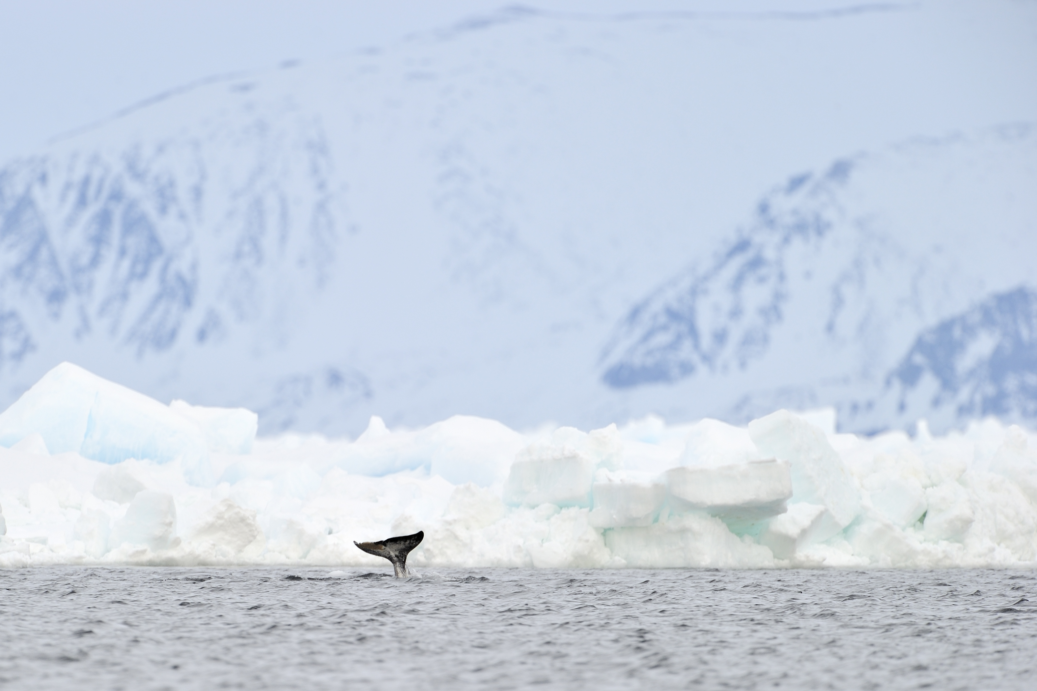
Greenland’s ice cap holds beneath it 10 percent of the earth’s freshwater, enough to raise global sea levels by 20 feet. While there’s no doubt it is melting, scientists have little certainty about exactly what’s happening inside this 10,000-year-old ice roughly three time size of Texas.
Last winter was the warmest on record in the Arctic, and as Greenland heats up, understanding its ice cap has become essential to navigating our future.
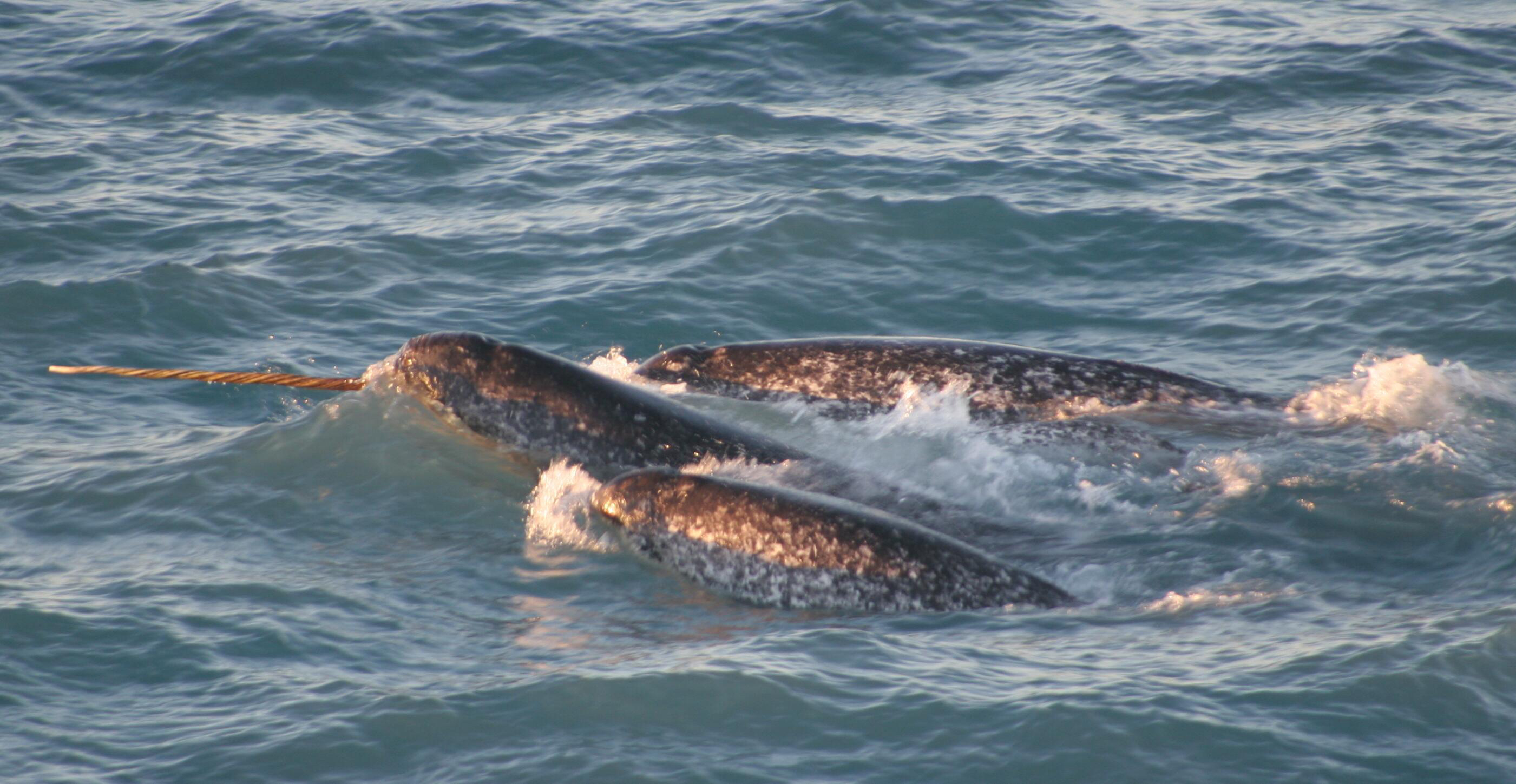
That’s why scientists need narwhals, whales with 9-foot-long unicorn-like tusks, which are some of the only mammals benefiting from all that melting ice.
“The narwhals like it,” said Josh Willis, the project lead for NASA’s Oceans Melting Greenland. When melting ice falls into the sea, it churns up the water, bringing such food as plankton and krill to the surface. The whales tend to feed at the bottom of melting glaciers and can dive to depths of 1,800 meters, precisely the areas that OMG needs to survey. It’s a perfect match.

“Narwhals are oceanographers,” said Kristin Laidre, a University of Washington marine biologist.
The five-year, $10 million OMG study is designed to measure the seasonal ebb and flow of the glaciers using a combination of the whales, satellites, temperature and salinity probes, as well as airborne and ship-based observations of the sea floor. Ultimately, the study aims to determine how quickly Greenland’s ice will disappear.
“Will it take 1,000 years, a few hundred, or will we lose most of it in 50 years?” asked Willis. “That’s the part we don’t understand.”
Laidre’s work with narwhals isn’t as novel as it sounds. Seals have been used to map the ocean floor of Antarctica. Sharks have done the same thing in the Pacific. Germany’s Max Planck Institute has developed Icarus, a tiny sensor that turns everything from birds to bees into environmental beacons to predict weather and natural disasters.
The depth of glaciers has historically been difficult – and costly – to study accurately. “Arctic work is logistically complicated and expensive,” said Laidre. A single project requires hundreds of thousands of dollars for chartered planes, ships, equipment, power, and people.
So far, OMG has measured Greenland’s seafloor and mapped the continental shelf, a crucial piece in the melt puzzle. “Ancient glaciers carved these troughs through the continental shelf,” Willis said. The channels allow warm water to flow between the glaciers, eating away at the ice. Unfortunately, “a lot more of these glaciers sit in deeper water than we expected,” he said.
Willis fears that future, more accurate projections of Greenland mass loss “are probably going to have to be revised upward.” If they are, we’ll have narwhals to thank for the data.