How an interactive atlas aims to preserve traditional culture and knowledge in Nunavut
The atlas could help preserve the Clyde River's environment — and its way of life.
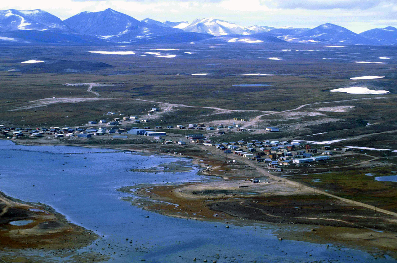
Clyde River, or Kangiqtugaapik, in Nunavut, Canada, has taken on the task of recording their culture and traditional knowledge through an interactive cyberatlas. Its aim is to share knowledge from Elders and therewith protect the environment and the way of life of Arctic communities.
Prioritizing Inuit traditional knowledge, Clyde River has assembled a profound knowledge about the area since the project was launched in 2015. In addition to the initial focus on the marine environment, the so-called Knowledge Atlas now contains an inventory of the area’s wildlife and habitats, as well as cultural information such as history and place names.
Rapid changes precipitate need for documentation
Due to the rapid environmental and social changes in the Arctic, there is an increased interest in ways in which to record, make available, present and link different kinds of information. Transformations of the landscape and the risk of losing artifacts and associated knowledge as a result of climate change hasten this need to preserve, manage and share traditional and local knowledge in parallel with other kinds of information.
One goal of the atlas is to convey crucial information to indigenous and local youngsters: young people need to learn how to be out of harm’s way in the harsh Arctic environment and the atlas can foster this learning. Some place names imply information on where to seek shelter or enable people to better communicate their whereabouts, so that community members can help them, find them and pick them up if they encounter difficulties or are in danger.
Through the atlas’ visual components, people can better memorize prominent features. Making use of cybercartography, the atlas employs a wide range of different media. These make it possible to store complex and interrelated data and include among others audio recordings, texts and documents, and visual arts, such as photography, videography, drone imaging.
Putting knowledge into action
In addition to documenting and passing on traditional knowledge and community culture, the atlas serves a variety of other purposes, such as mapping resource use, and supporting environmental protection, research, and education. It is a useful tool for planning, which can serve as the basis for decision-making when considering proposals for development projects.
The knowledge can also be used to assert indigenous rights and self-determination. Priority is given to information and data sovereignty, as the Clyde River community has control over how its data is shared.
Clyde River is part of the ELOKA network (Exchange for Local Observations and Knowledge of the Arctic), which emphasizes the importance of considering indigenous knowledge within the context of the indigenous communities. “When presented in the absence of the local and cultural context in which it was collected, local observations and knowledge can lose value at best, and be misleading at worst,” Peter Pulsifer and Chris McNeave state on the ELOKA website. Pulsifer also quotes the anthropologist Keith Basso and points out that “wisdom sits in places.”
The cyberatlas is therefore conceived and driven by the wants and needs of the Clyde River community. Young Inuit technicians, artists and other participants manage the atlas. They get support and training from university-based researchers and technicians, such as the Geomatics and Cartographic Research Centre at Carleton University, where the term “cybercartography” was coined.
A bridge between generations
Through the documentation and sharing of the Elders’ knowledge and the atlas’ strong focus on youth, the project represents a bridge between generations. The use of the Knowledge Atlas as a platform is furthermore a model example for the integration of indigenous and “western” knowledge, of science communication and community-based research.
The software used for the atlas is in line with its goal of gathering specific, local data and share it across communities. The flexible open-source software Nunaliit Atlas Framework was developed over time with the input and experience from various community projects.
Because it doesn’t require advanced technical skills, anyone with internet access can add content. In contrast to a centralized system, this supports demand-driven atlas development and enables communities to use their own language. Serving as a model example, Clyde River has taken part in seven distinct cyberatlases, each focusing on different key areas.
Pan-Arctic knowledge sharing
The ELOKA network coordinates atlas projects from communities across the Arctic, encompassing a wide range of topics. For instance, the Indigenous Food and Data Sovereignty Network addresses food security in indigenous communities. Another atlas, Sea Ice in the Belcher Islands, allows hunters to share their observations of sea ice conditions in near-real time.
These and similar knowledge atlases set great examples for preserving highly valuable indigenous and local knowledge and can significantly contribute to our understanding of how the Arctic is changing by making available experience accumulated over generations.
The atlas, which is already available to the Clyde River community, will be released more broadly after further development.