Ice services for navigators in Greenland will now come solely from satellite imagery
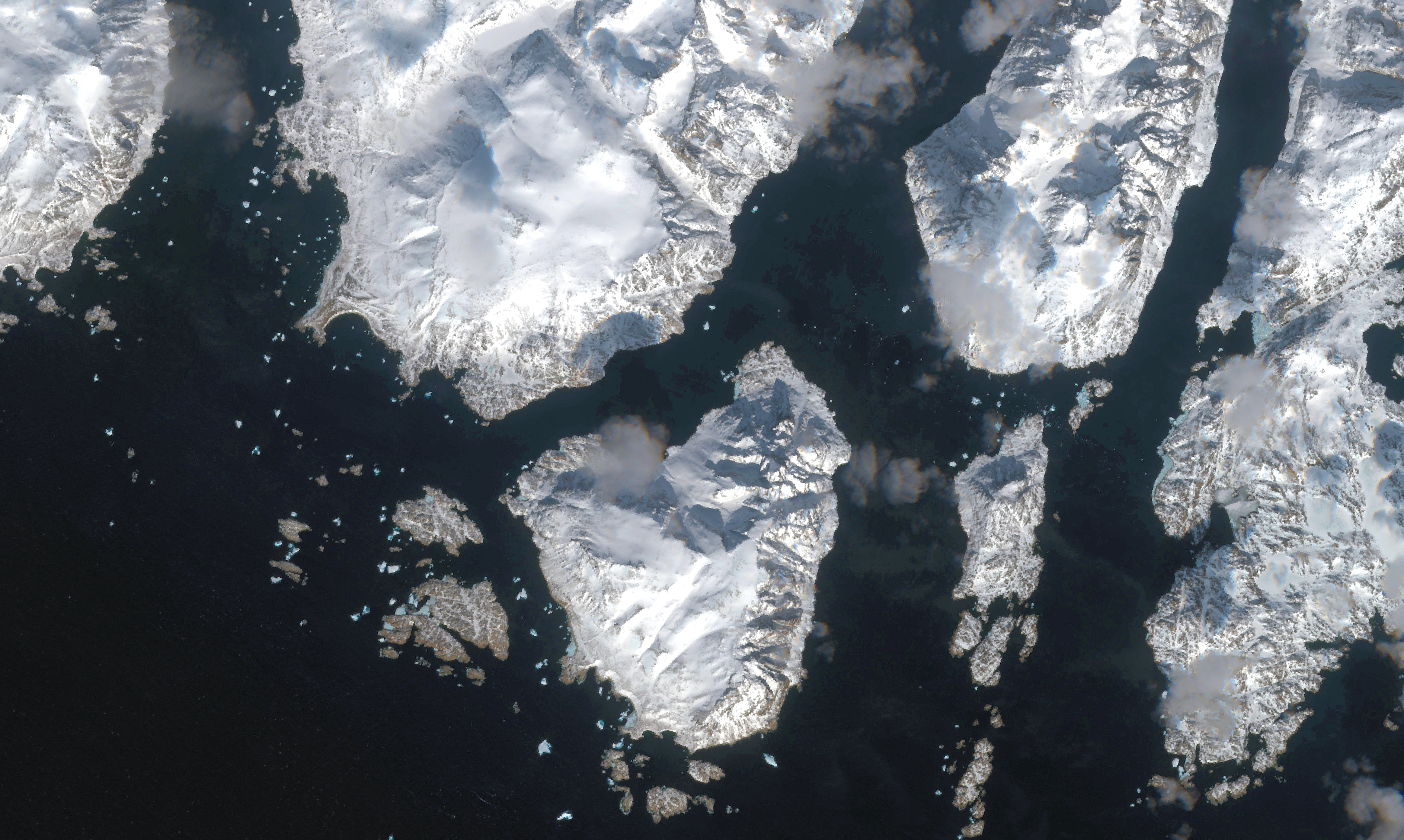
Starting in November, the DMI, the Danish met office, will begin tracking ice on Greenland’s coastal waterways using satellites.
The DMI’s ice service has been tracking ice further out to sea using satellites since 2002. But coastal waters continued to be monitored by helicopters based in Narsarsuaq, in the extreme south.
At the same time, the DMI will begin compiling all ice-related services at its main office in Copenhagen, but, according to Søren Olufsen, a meteorologist, neither measure will affect the quality or quantity of reporting on the position of icebergs and ice floes in Greenlandic waterways.
In part, this is because the European Space Agency satellites that will be providing the images pass over Greenland year-round on a regular basis. Unlike with helicopters, this will make it possible to obtain position updates, regardless of weather or time of day.
One of the drawbacks of using helicopters is that they are not permitted to fly at night or during inclement weather.
Reporting using helicopters typically involves three or four flights over the Cape Farewell area during periods of significant ice activity. Missions are flown over other waterways as necessary, with most activity concentrated in the spring and autumn.
The DMI uses the reporting in its twice-weekly updates of ice positions in Greenlandic waters.
The DMI made its decision to rely solely on satellite data for its ice services after conducting a three-month trial period at the end of 2016.