How giving satellite data to Indigenous communities could boost safety and food security
Satellite data that could keep Arctic residents safer on ice already exists. The challenge is getting it to them in a useful form.

Saami herders from Sirges were driving thousands of reindeer across the frozen Kutjaure river towards their winter pastures when disaster struck in late 2009. The ice, normally thick enough for the crossing, broke, spilling reindeer into the ice-cold water. Nearly 300 reindeer died.
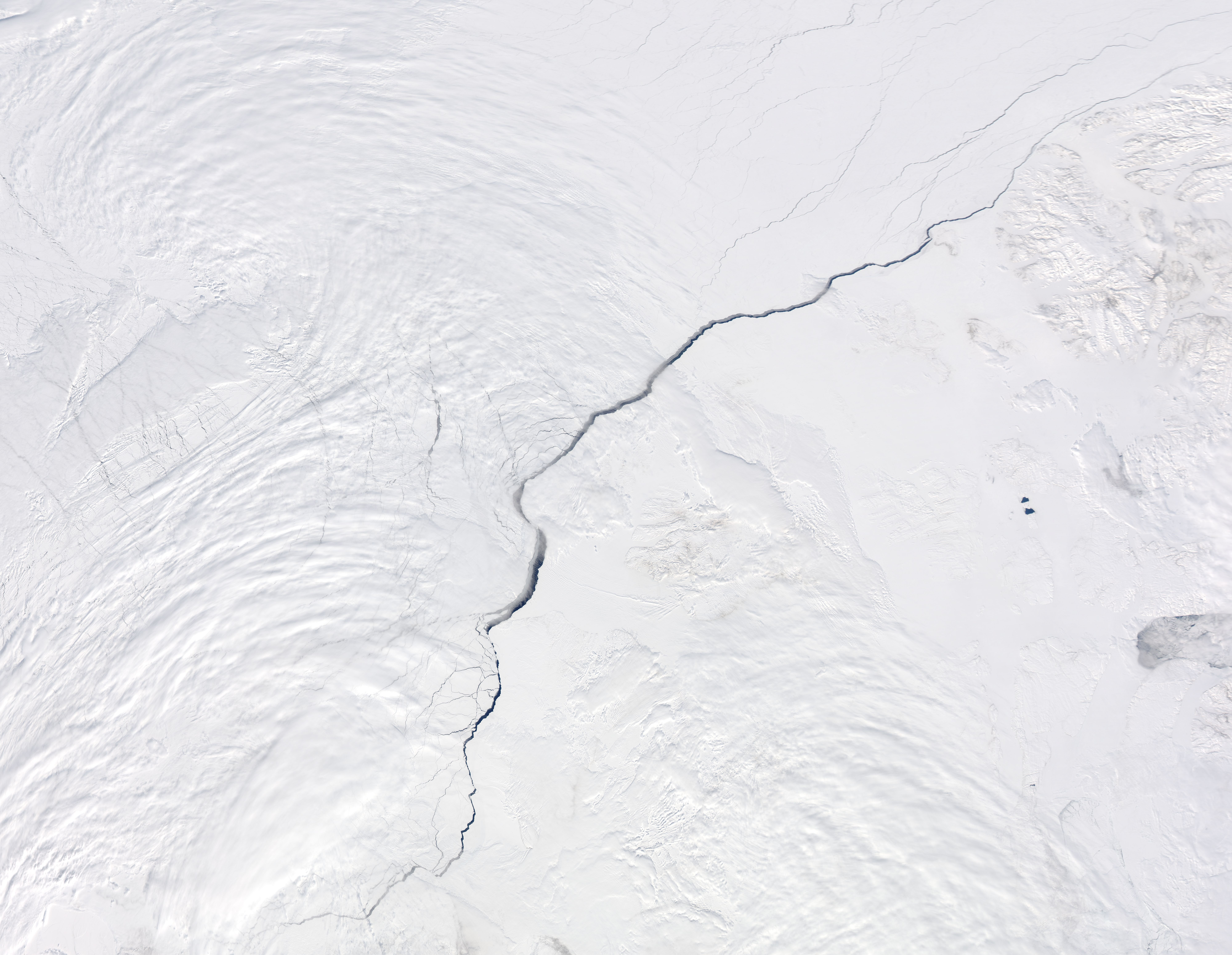
Packaging up-to-date satellite information on river and lake ice thickness, ice openings, snow and rainfall into a smartphone application could help northern communities such as Saami herders make better decisions, preserving their safety and food security in a changing Arctic.
“It would help us become more resilient and ensure our food security,” said Jannie Staffansson, an advisor with the Arctic Environmental Unit of the Saami Council, at the Arctic Circle Assembly last week in Reykjavik, Iceland. “If you are wrong about whether the ice is good or not, it can be devastating for you or your herd.”
Changing ice and snow conditions have forced herders to adjust the migration routes they take to grazing pastures, says Staffansson. Climate change has played a role, but so too have river hydroelectric projects that can change the way the ice melts in the spring, she said.
Satellites orbiting the Earth collect data on land, sea and ice conditions using a variety of sensors. The Arctic is not yet continuously monitored by satellites and some of the sensors do not yet provide the high-resolution data required for regional use. “The satellites are good with ice, but less so with snow,” said Éric Laliberté from the Canadian Space Agency.
A new mobile app that could make journeys over ice safer is being piloted in Clyde River, Nunavut, by Polar View, a global organization that provides satellite-based information and data services. The app, called Safer Travel on Ice, integrates data from the Canadian Space Agency’s RADARSAT-2 and Europe’s Sentinel-1 satellites. It generates daily maps of the floe-edge, which are especially important during the spring and fall when ice conditions can change quickly.
Staffansson would like to see a similar service provided to herders in Sápmi, which covers the northern parts of Norway, Finland, Sweden and Russia. “I’d like to be able to access maps on a daily basis, watch the thickness of the ice and the snow, and find indicators of where there have been rain on snow events that can freeze-up the pasture,” she said. “That would keep us more resilient, and ensure our food security.”
“That is why we come to this conference, to get a grip on real applications,” said Craig Donlan from the European Space Agency. “For me, this is about people, all our investments are about people.”