Despite uncertainty, ambitious Western Nunavut road-port project moves forward
Though there’s no firm guarantee that anyone will use it and no firm guarantee the federal government will put up the cash to pay for it, the ambitious Grays Bay Road and Port Project in western Nunavut will now undergo an environmental screening by the Nunavut Impact Review Board, the project’s backers announced Aug. 24.
The Government of Nunavut and the Kitikmeot Inuit Association teamed up in 2016 to push for the Grays Bay scheme after the Chinese-owned mining firm MMG Canada said their lucrative base metal deposits aren’t viable without a road and port that are too costly for the company to build and run on its own.
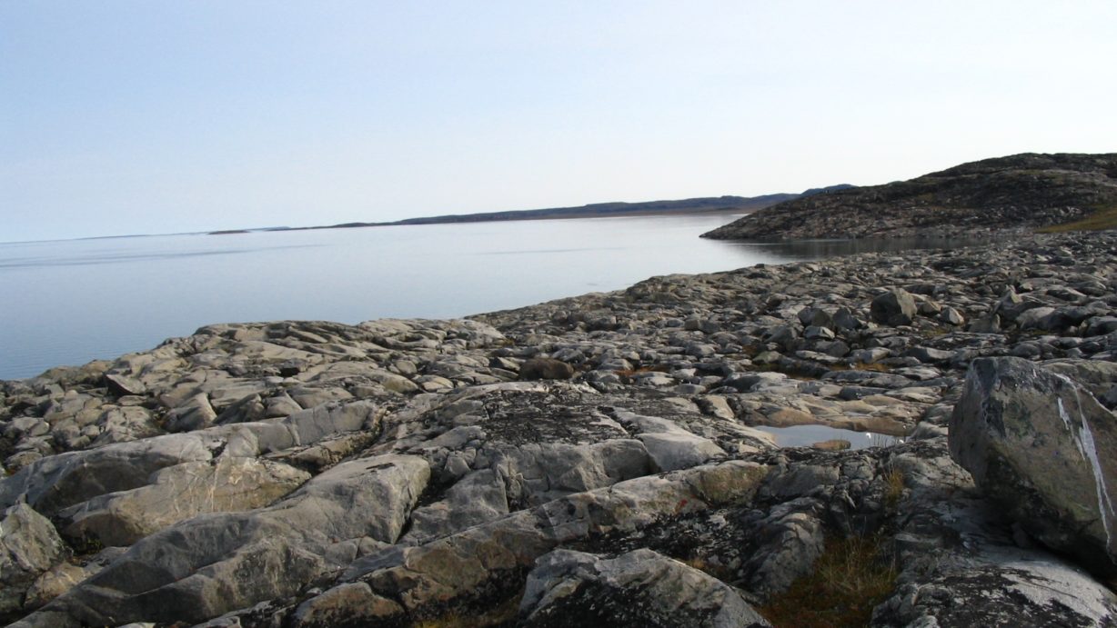
In the first phase of Grays Bay, the GN and KIA would build a deepwater port at Coronation Gulf on the Arctic Ocean and a 230-kilometer (about 140-mile) all-season road between the port and the site of the abandoned Jericho diamond mine. (You can find the full project proposal here.)
About 10 to 20 permanent staff would be located at the port site and up to three permanent staff would be located at Jericho. Road and port maintenance costs would amount to around $3 million a year.
To keep the road maintained, the road’s owners would have to quarry between 50,000 and 100,000 cubic meters of gravel each year.
That means permanent quarries with heavy equipment and rock crushers, located at various spots along the road, would become permanent features of the project.
From Jericho, the all-season road would hook up with the Tibbitt-Contwoyto winter road, which offers a seasonal cold-weather route to Yellowknife.
The second phase, likely at some point in the future, would see a 95-kilometer (about 60-mile) all-season road running from Jericho to the Northwest Territories border, where it would hook up with an all-season road to Yellowknife which the Government of the Northwest Territories wants to build in the future.
The Grays Bay proponents want the federal government to give them up to 75 percent of the nearly $500 million the project is expected to cost, but Ottawa has yet to hand over the money.
Industry Minister Amarjeet Sohi said in the House of Commons last fall the Grays Bay project is not ready for federal funding.
The GN and KIA also hope that road and port users, such as mining companies, would pay tolls for use of the road and fees for use of the port.
But MMG Canada, the company that controls Izok Lake and High Lake, the two most valuable mineral deposits in the area, called a halt in 2013 to the NIRB’s environmental review of its proposals.
“MMG made this request because the preliminary results of the feasibility study for the project confirmed that the costs of the regional infrastructure required to support development of this project were more than this project could bear,” MMG Canada boss Sahba Safavi said in a letter dated May 24, 2017.
But Safavi said this week that MMG also believes the project would make it easier for them to eventually develop Izok Lake and High Lake, within a revised version of its Izok Lake Corridor Project, and would benefit other companies.
“We believe that by working together with Kitikmeot communities and all levels of government, the massive potential held within the western Kitikmeot region can be unlocked, helping to bring new wealth and prosperity to Nunavut, the Northwest Territories and Canada,” Safavi said Aug. 25, in an email to Nunatsiaq News.
At the same time, he said MMG cannot commit to developing its Kitikmeot mineral properties, whose zinc, lead, copper and silver reserves are likely worth billions of dollars, until after it revises its plans in light of Grays Bay.
“Until the project is considered economic and the infrastructure issue is resolved, we cannot advance to the next step, which would be revising our project proposal– and which is a crucial step before re-initiating the regulatory approval process,” he said Aug. 25.
And that means waiting for federal funding for the Grays Bay project to be approved.
“Should funding for the GBRP be approved, we would work with the Government of Nunavut, the KIA, regulators and local communities, so that we can begin the process of revising our project proposal,” Safavi said.
And they are also open to “exploring any innovative approaches and mutually beneficial partnerships with all levels of government,” he said.
MMG is a subsidiary of China Minmetals, a huge corporation majority owned by the Peoples’ Republic of China, although some of its shares trade on the Hong Kong and Australian stock exchanges. They acquired their Nunavut properties in 2009 from Australia’s debt-ridden Oz Minerals Ltd.
The firm filed its own road-port-mine proposal with the NIRB in 2012, called the Izok Corridor Project, which also promoted a deepwater port at Grays Bay.
MMG’s plan also included a road connection to Izok Lake — a feature the GN-KIA plan does not include.
But that hasn’t stopped the GN from making the project a major political priority and describing its claimed benefits in the lofty rhetoric of nation-building.
“It is a transformative project with significant national benefits that aim to help define northern economic development throughout the 21st century,” a joint GN-KIA press release said.
For the Kitikmeot Inuit, it’s a transportation link that could unlock development of the rich base metal deposits that MMG Canada now controls.
The KIA have been hoping for the development of the Izok Lake zinc deposit for more than 25 years.
“This project is a true partnership between government and Inuit, and it has the capability to be transformative in creating opportunity that leads to major socio-economic benefits for Inuit and Nunavummiut,” Stanley Anablak, the president of KIA, said in the same release.
Other features of the project include:
• as many as 40 haul trucks, 20 running in one direction and 20 in the other direction, arriving at the port about every 12 minutes, if MMG develops its mines;
• a mixture of Crown and Inuit-owned land, with 49 percent of the road running through Inuit-owned surface rights land and the rest Crown land;
• a four-year construction period that would employ 200 to 250 people during the construction phase;
• construction workers living in temporary mobile work camps capable of housing 40 to 70 persons each;
• a 75-year lifespan;
• a deep-sea port at Grays Bay, an airstrip, a wharf capable of handling deep-sea ore carriers, offices and accommodations for permanent staff, a tank farm, a small craft harbor, a diesel generator and more;
• the quarrying of about 6 to 8 million cubic meters of gravel and rock fill to build an embankment for the road;
• about 40 temporary and permanent gravel quarries; and
• operating costs of $3 million a year, with 10 to 20 workers at the port and three workers at Jericho.
You can find more information at the Grays Bay Road and Port Project website.
You can find multiple documents related to the NIRB’s environmental screening at the NIRB’s online public registry.