Crossing from boreal forest to tundra at Alaska’s Atigun Pass is like entering another world

ATIGUN RIVER — Goodbye, red squirrels.
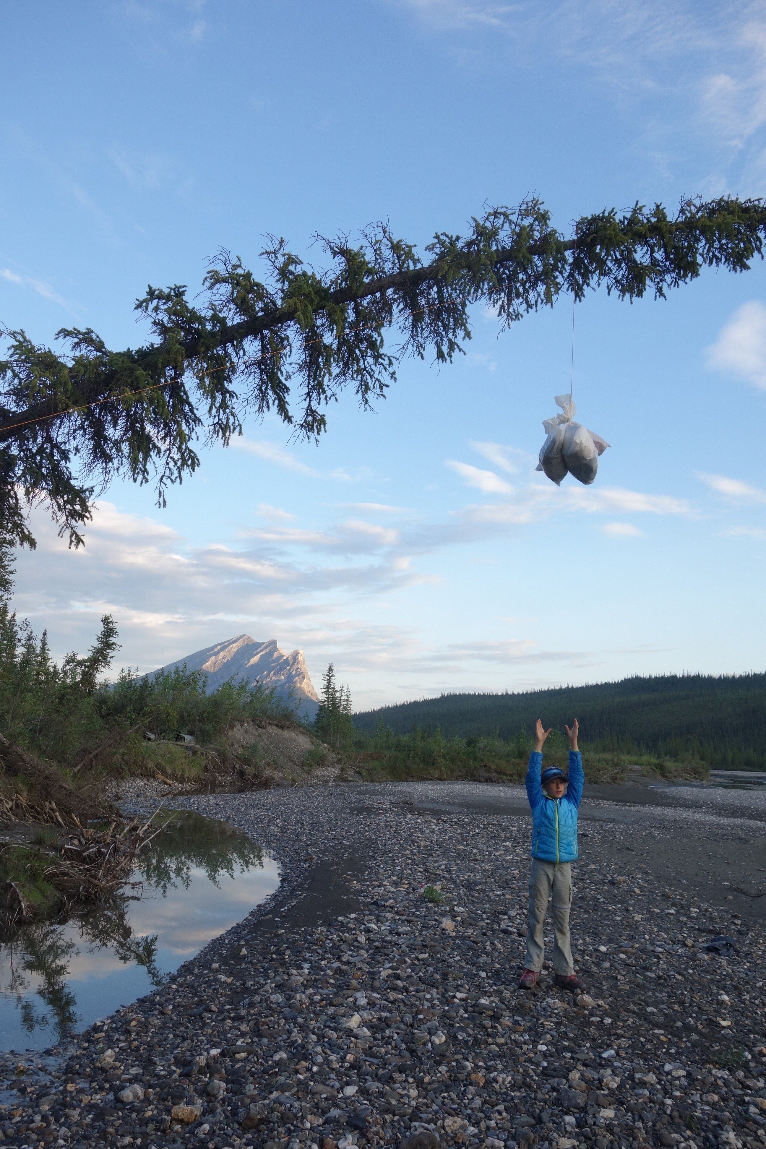
This morning, on our summer-long hike along the path of the trans-Alaska pipeline, my dog Cora and I left the last tangle of boreal forest along America’s highway system. We walked away from a campsite of white spruce and balsam poplar that had shielded us during a rain and wind storm the day before.
The squeak we heard from a red squirrel, whose diet is mostly spruce seeds (but occasionally fledgling birds and baby snowshoe hares), was the last we’ll hear until we return home to Fairbanks at the end of this adventure.
Following the Dalton Highway and heading north, we walked up a few thousand feet to Chandalar Shelf. There were still willow shrubs and alder, yes. But the large trees were no more.
It took a long time to out-walk the boreal forest.
Since we first saw aspen trees along our route just south of Copper Center, Cora and I have been moving for two months to transit that band of northern forest. In North America, the boreal forest extends from western Alaska all the way east to Canada’s Maritime Provinces.

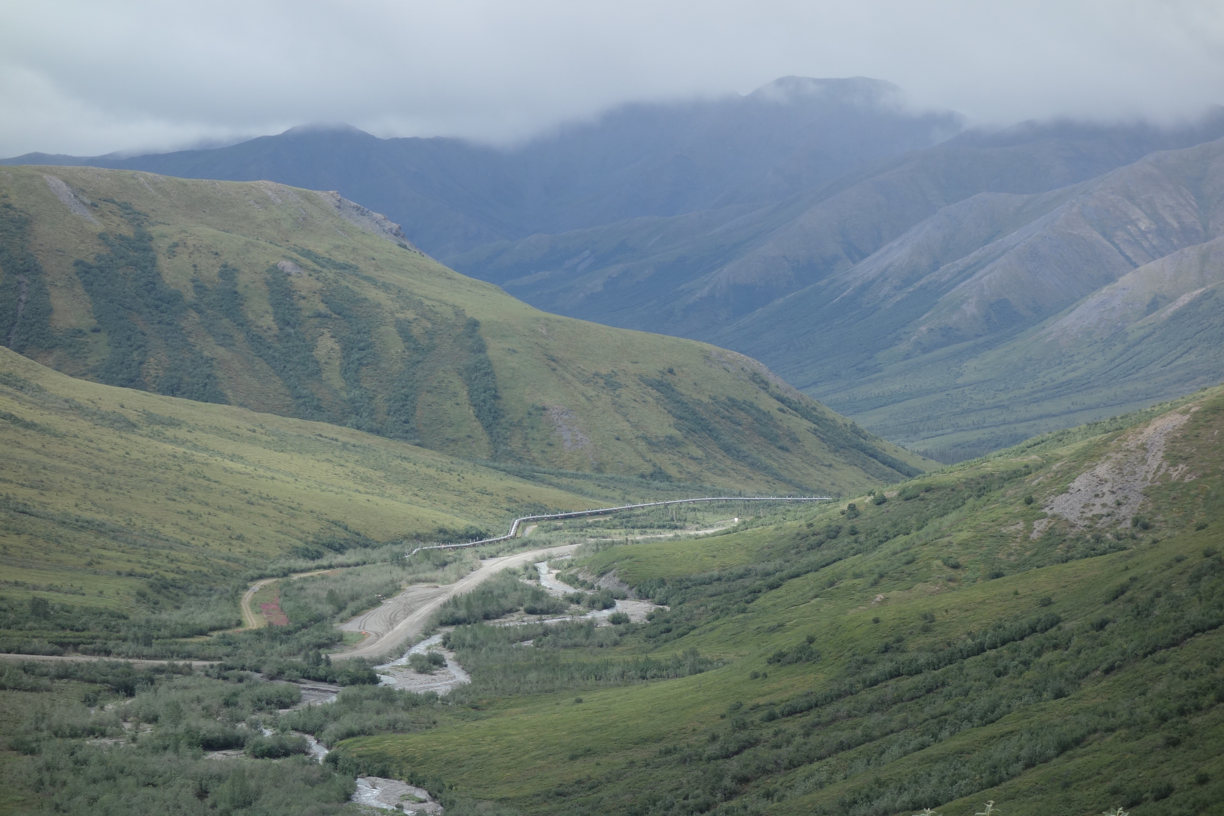
As we followed the pipeline’s path through Atigun Pass and crossed the Continental Divide at about 4,500 feet, we stepped into a new world.
Here on the north side of the Brooks Range, the misty mountains spill clear-running creeks. From where I sit with my back against an industrial metal shed related to a pipeline valve, I hear the worried shriek of a peregrine falcon. It is a greeting to a land with yearly temperatures cold enough to prevent the invasion of trees, a place where winter is the norm and summer visits for just a few months.
I live in the boreal forest and am comfortable among the poplars, aspen and spruce and on the rivers that wind through them. Crossing the pass, which is the highest point on the pipeline’s route (though far from the steepest climb or descent), I entered a rainy, cloudy, treeless world. Mystical is a word that keeps coming to mind. It is the same sensation I remember from 20 years ago, when I crossed over with my brother-in-law James Hopkins.
On the other side of the pass, in that Iowa-sized part of central Alaska known as the Interior, I leave behind the 80-degree days we experienced from the Yukon River all the way to the base of Atigun Pass. Goodbye moose flies, dunks in clear rivers, hot nights in the tent and tanned kids and their parents arriving by riverboat from fish camps on the Yukon.
And goodbye thunderstorms. A few days ago, near the site of the old Dietrich pipeline construction camp, lightning struck so close to my wife Kristen, daughter Anna, cousin Heather Liston and me that we heard the crackle of static and instantaneous thunder. We took cover under two U-shaped forms of concrete sometimes used to weight the pipeline as it goes under rivers. Lightning sometimes strikes here on the North Slope side of the mountains, too, but it’s rare compared with the heat-driven convection cells of the Interior.

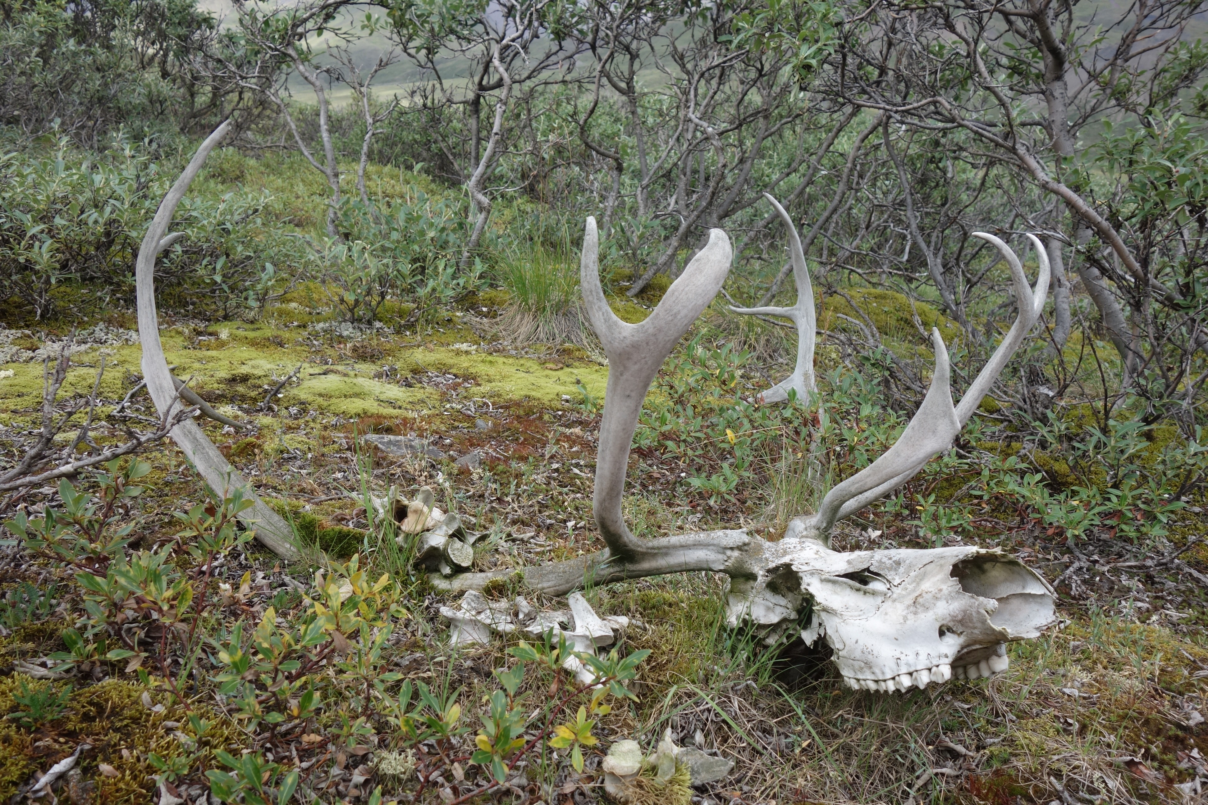
What to expect here, where the Atigun River flows northward, joins the Sagavanirktok and heads to gray saltwater through the bumpy flats of the North Slope? Stunning mountains, for a bit. Cold feet, because I’m still wearing wet running shoes. Caribou chewing lichen. Wind. A visit to Toolik Field Station, where my neighbor and UAF grad student Jason Clark will warm the sauna.
And of course, more mosquitoes. Though the wetlands of the Interior were impressive when traversed with improper timing, the North Slope mosquito is the queen of them all. She is the type that inspires competition. How many can you kill with one slap?
Out of respect for her, I did not rush to the north side of the divide. With my family and cousin from San Francisco, I walked slowly through the spear-like spruce, sculpted white mountains and aquamarine water of the Dietrich and Koyukuk river country. I wanted them to see what I considered the nicest part of the trek 20 years ago: Coldfoot to Atigun Pass.
And I wanted the North Slope mosquito to be on the waning end of its few-week life cycle before I dropped in.
I hope I’m late for the party.
Ned Rozell is a science writer for the Geophysical Institute. This summer, he is hiking the path of the trans-Alaska pipeline from Valdez to Prudhoe Bay, a trip he first took 20 years ago. You can follow along here.