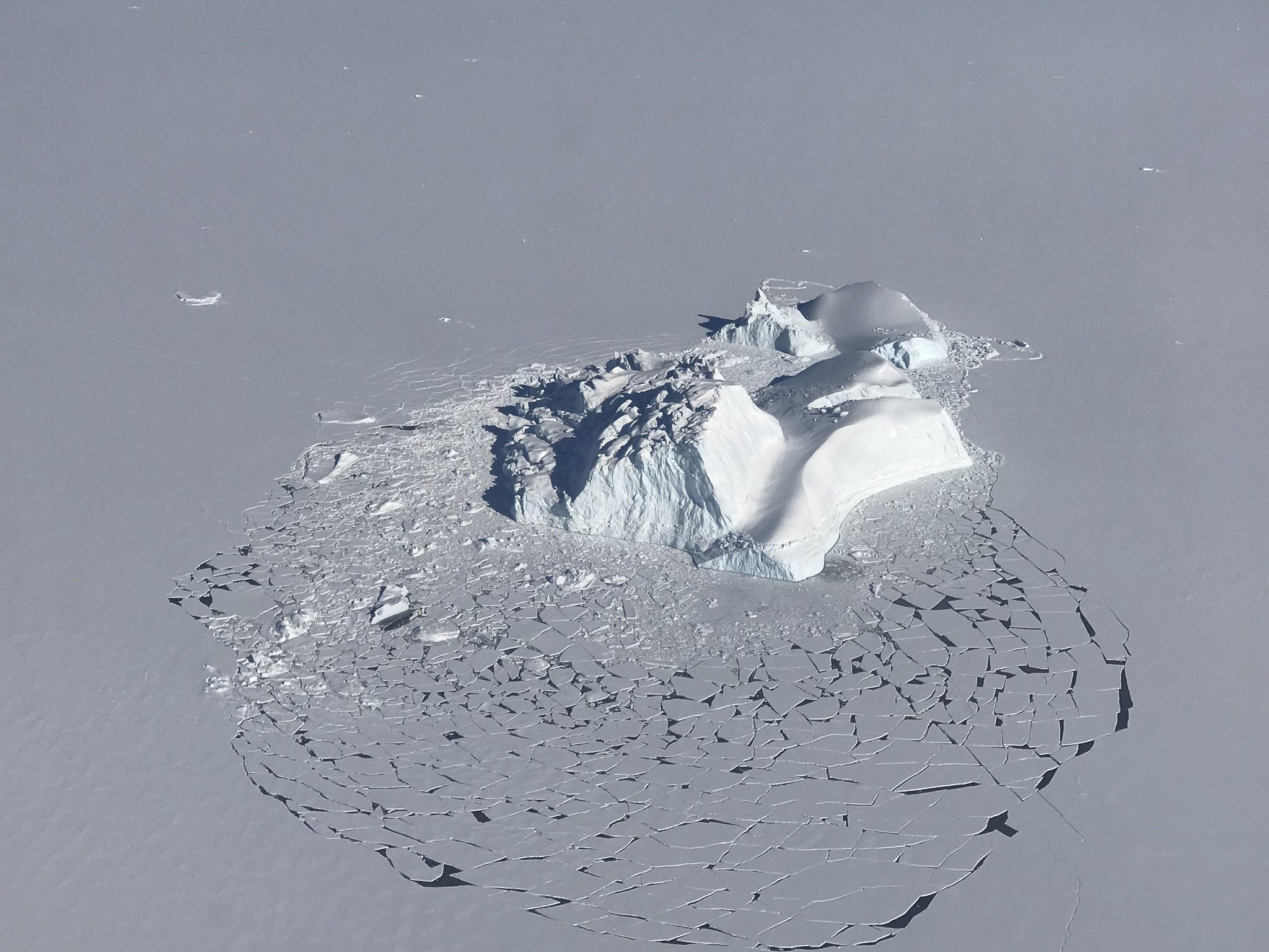
Arctic sea ice reached its maximum extent at a near-record early date
Ice reached its greatest extent on Feb. 25, one day short of the earliest date on record.

The melt season for Arctic sea ice is underway after the annual maximum extent was reached late last month.
Sea ice extent reached its annual maximum on Feb. 25, 15 days earlier than the 1981-2010 average date and one of the earliest dates for that milestone in the four-decade satellite record, the National Snow and Ice Data Center reported on Tuesday.
“That’s certainly unusually early,” said NSIDC Director Mark Serreze.
There were only two years where annual maximums happened earlier: 1987 and 1996, both with maximum extents reached on Feb. 24. That makes Feb. 25 the second-earliest date for the annual record and it makes 2022 the second year hitting that mark; in 2015, the maximum extent was also reached on Feb. 25.
Past experience has shown that an early start to the melt season does not necessarily set up a low September minimum, Serreze said. That’s contrary to previous assumptions that the end-of-winter condition of the ice “tells you a lot about September,” he said. “We’ve learned that it doesn’t.”
Rather, the summer melt and fall minimum are heavily dependent on weather, he said. Last year’s melt season was an example. “We were on a record-low pace for quite some time, and then the weather patterns turned around,” he said. Thanks to cool and cloudy weather that arrived in late summer, the 2021 minimum extent wound up as the 12th lowest in the satellite record.
This year’s sea ice maximum was the 10th lowest on record, according to the NSIDC. That puts it within the long-term trend, as described in the National Oceanic and Atmospheric Administration’s 2021 Arctic Report Card, of dramatic losses for the annual minimums and slight losses for the annual maximums. All 10 of the lowest annual extent maximums have been posted since 2006, according to the NSIDC.
“We’re going down, there’s no doubt about that,” Serreze said. Just how far down it will go later this year, however, depends on a lot of variables, he said. “We’re losing the ice, but every year gives us a different piece of the story,” he said.
Extent is defined as the area where there is at least 15 percent ice cover, thus making it visible by satellite. Other measures calculate ice concentration, thickness and age — all of which have been declining.
Last year, for example, the April ice volume was the lowest measured for that month in 11 years, as described by the Arctic Report Card. Last August, the amount of multiyear ice — the thicker ice that survives successive summers — hit a record low, the NSIDC reported last year.
Increased ice extent can hide the other trend of thinner and younger ice, Serreze said.
“Just because you have a good extent does not mean the ice is healthy,” he said.
This year’s freeze patterns varied by location, as is typical.
By the time the maximum was reached, ice extent was near or above long-term averages in some places like the Bering Sea and Baffin Bay, but it was below average in other places, like the Barents Sea, according to the NSIDC. Winter extent wound up well below average in the Gulf of St. Lawrence and the Sea of Okhotsk, the NSIDC said.