A new survey has mapped an abandoned US military base beneath Greenland’s ice cap – but revealed few surprises
Scientists studying Camp Century reckon it is safely interred for the foreseeable future.
Scientists working to assess the environmental impact of a secret Cold War military base built into the ice cap in extreme northwestern Greenland say they have mapped the exact location of debris and other infrastructure left behind when U.S. forces abandoned the facility in 1967 with only minimal decommissioning.
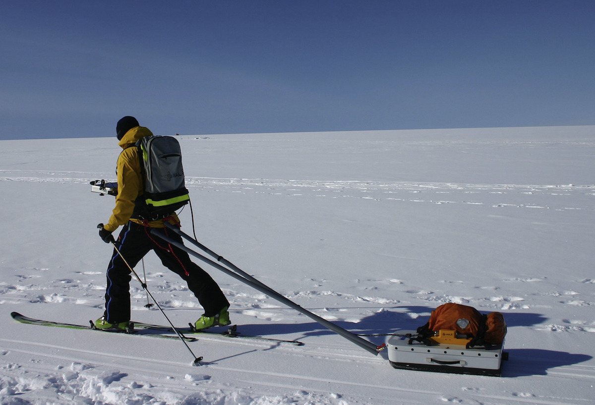
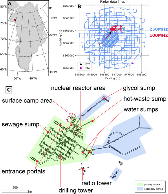
The survey of the site of Camp Century was conducted by GEUS, a Danish geological agency responsible for monitoring the base, using ice-penetrating radar pulled by skis back and forth across a 750-acre (3-square-kilometer) area on the ice cap.
The radar images showed the tunnel network, which is spread out over about half an acre (2,500 square meters) at depths of about 150 feet (50 meters), as well as locations of waste depots and other debris fields. It also confirmed that the maps provided by the U.S. military were accurate.
“All the tunnels depicted in the as-built map of Camp Century can be identified in radar reflections and there is no sign of unmapped tunnels,” said Nanna B. Karlsson, a GEUS glaciologist who led the analysis of the radar-survey data.
When Camp Century was abandoned, it was assumed that the waste, which includes wastewater from a miniature nuclear reactor, would remain safely entombed. Warming temperatures and the natural movement of the ice cap, however, have led to concern that it could be exposed to the outside environment by the end of the century.
The results of the 2017 survey, published last month in Cold Regions Science and Technology, a journal, show that facility has moved 761 feet (232 meters) since it was built in 1959. With the edge of the ice cap more than 60 miles (100 kilometers) away, and with a constant build-up of snow and ice, this suggests the base and its refuse are unlikely to emerge in the foreseeable future. Of more immediate concern is how meltwater interacts with the debris from the base. The Camp Century Monitoring Programme, established in 2017, hopes to use the radar survey as part of this effort.
Despite its modern reputation as an environmental hazard, Camp Century, which primarily served as an experimental facility for testing ice-sheet construction concepts, made important contributions to glaciological and climatological research.