🇫🇮 ICEYE’s new satellite-based solutions empower insurers with full UK flood lifecycle management
Helsinki, Finland – May 13, 2024 – ICEYE, a global leader in satellite-powered disaster management solutions, has announced the launch of its high-resolution Flood Early Warning and ongoing customer pilots of Flood Rapid Impact solutions for the UK insurance market. These solutions will significantly increase customer resilience and reduce insurers’ financial costs of floods.
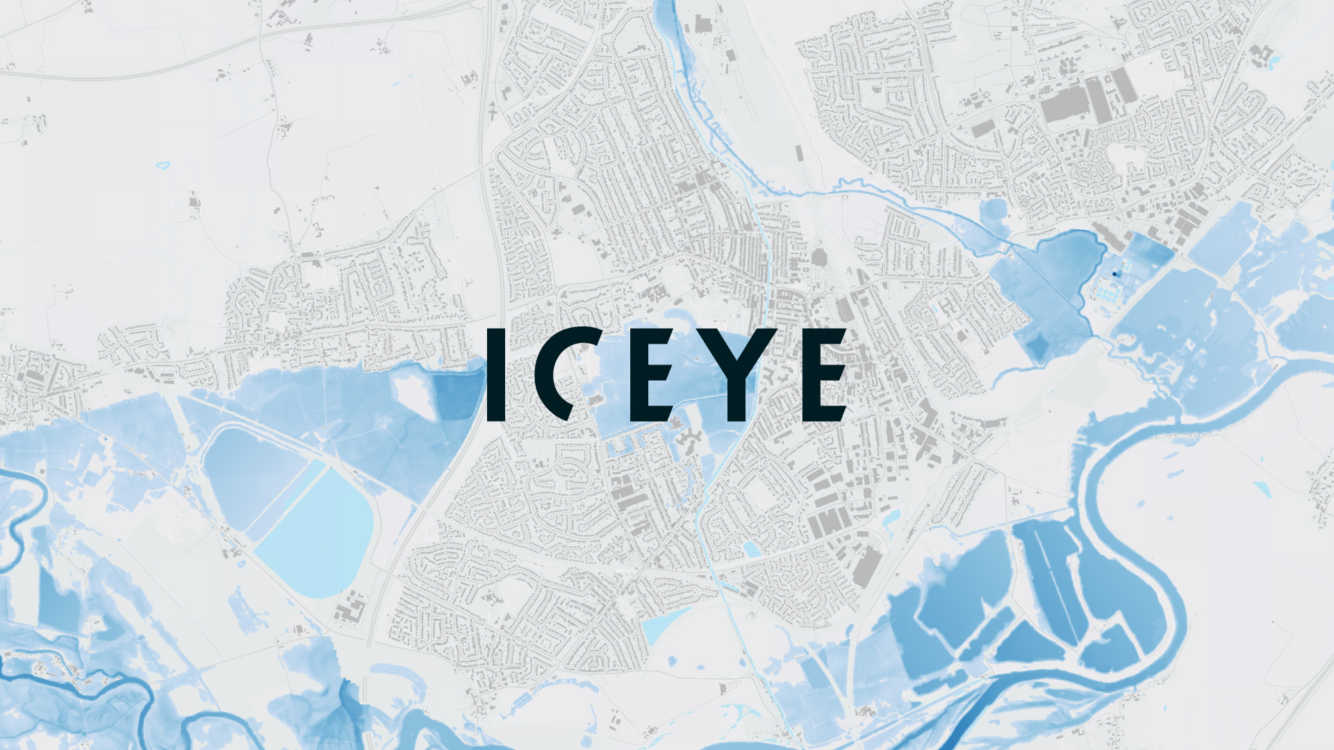
ICEYE’s Flood Early Warning provides four days in advance flood impact forecast prediction. This is at building level resolution and is overlaid with the respective UK country environment agencies’ flood hazard zones. ICEYE’s Flood Rapid Impact is a rapid satellite data-derived flood extent map, delivered within 12 hours of the start of the flood and at 8 to 12-hour intervals thereafter, it means insurers can track the progression of the flooding. This is regardless of cloud cover, persisting rain, night or day, as the synthetic aperture radar sensors mounted on ICEYE’s constellation of satellites are unencumbered by these atmospheric conditions.
The combination of the two data sets means that insurers can track and predict the evolving flood risk at individual locations in their portfolio. Consequently, they can dynamically organize customer resilience action using their on-the-ground supply chain who can deploy flood prevention measures. Additionally, they can issue targeted communications to their customers, encouraging resilience and preservation of life action. Where the water gets through the field resources will be “on hand” to support customers and commence restoration activities.
Rupert Bidwell, Vice President, Insurance Solutions at ICEYE, said: “We believe ICEYE’s Flood Early Warning and Flood Rapid Impact will be transformational in the way insurers can handle floods in the UK. Flood information before and during the event can be incomplete, as it is reliant on weather forecasts, models, and media – what we are providing is unique, it is the live tracking of the flood using our satellite constellation. It means insurers can be ahead of the water and deploy resources to prevent and mitigate flood damage, and proactively support and communicate with their policyholders and with communities, and ultimately reduce the rising cost and impact of floods.”