The Trump administration is still downplaying how much land Arctic refuge drilling will disturb
OPINION: A claim that drilling in the Arctic National Wildlife Refuge would have a 2,000-acre footprint was never based in reality. The Trump administration keeps promoting it.
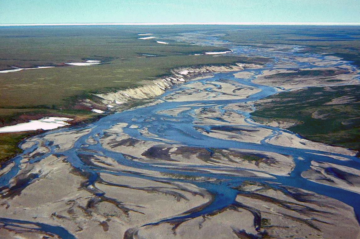
As the Trump administration moves ahead with plans to open the Arctic National Wildlife Refuge to oil exploration as soon as possible, it is trying to preserve the fiction that the “surface disturbance” will be limited to 2,000 acres.
The only way to do this is to arbitrarily exclude from the count hundreds of miles of elevated pipelines and hundreds of acres of gravel pits, all in the interest of preserving a political talking point that began with an off-the-cuff remark by a lobbyist.
“If today an oil field was built on the coastal plain — a series of oil fields, you would not occupy more than 2,000 acres of footprint. And in the future you can bet your boots it’s going to be reduced even more,” Roger Herrera, a former BP official, testified before a U.S. Senate committee in 1995.
[Busting the 2,000-acre myth about drilling in Alaska’s Arctic refuge]
The statistic soon became a political foundation of the ANWR development campaign and found its way into the 2017 federal tax law that opened the land to development.
Politicians and industry backers have long falsely claimed that oil development would be a tiny speck in the 1.5-million-acre wilderness, nearly invisible on a map.
In truth, the plan is for a network of more than 200 miles of roads and more than 200 miles of pipelines that could extend across much of the coastal plain.
The Bureau of Land Management will collect public comments until early February on a draft Environmental Impact Statement designed to allow a major lease sale in ANWR before the political tides shift again in Washington, D.C.
[With draft environmental study done, Trump administration hopes for Arctic refuge lease sale soon]
As the Trump administration tries to accelerate the timetable, opponents of oil development in the northeast corner of Alaska are likely to challenge the research plan in court — the clearest way to slow it down.
One way or another, the Trump administration will have to defend its plan from environmental groups already cataloging the ways in which the Interior Department sacrificed analysis for speed.
The draft plan includes three alternatives for development plan that would open at least 400,000 acres of the coastal plain to oil development.
The fourth “alternative” is to prohibit development, but that was only included because the rules require a baseline for comparisons.
The draft plan claims that any development can be limited to 2,000 acres if hundreds of acres of gravel pits and hundreds of miles of elevated pipelines don’t count as part of the “surface disturbance.”
About 210 to 250 miles of elevated pipelines would be built, but only the posts that touch the ground would count against the total, perhaps about 10 acres, an obvious bit of deception.
With this sort of magical thinking, a mile of pipeline would cover only 1,700 square feet of ground.
About 200 miles of gravel roads would be needed, along with an airstrip, gravel pads for oil facilities and other installations. All told, about 13 million cubic yards of gravel would be needed from gravel pits covering 325 acres.
The gravel pits would not count against the limit as they are not “oil and gas facilities any more than are mills that supply steel for construction of pipelines and other facilities,” BLM says.
The BLM admits in it the fine print that “all potential facility numbers and surface disturbance acreages are general hypothetical estimates and are not based on specific project proposals.”
The draft report claims only the posts on elevated pipelines should be counted because Congress specifically mentioned “piers” in the tax law. This “strongly implies that the elevated portion of pipelines that do not touch the ground do not count towards the limit,” BLM says.
The report assumes that roads would account for more than 75 percent of the 2,000-acre coverage, but additional roads could be added on land owned by the state or Native corporations, “if there were a possibility of the 2,000-acre disturbance cap being exceeded.”
Different portions of the BLM report use varying numbers about acreage estimates and all development scenarios add up to exactly 2,000 acres.
So take your best guess and remember that if development begins, there will be little or no incentive to monitor or enforce the acreage limitation.
Columnist Dermot Cole is a long-time reporter in Alaska.
The views expressed here are the writer’s and are not necessarily endorsed by ArcticToday, which welcomes a broad range of viewpoints. To submit a piece for consideration, email commentary (at) arctictoday.com.